Area Overview for OL11 3DG
Photos of OL11 3DG
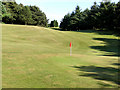
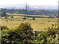
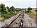
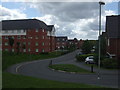
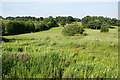
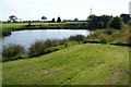
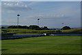
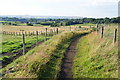
17 photos from this area
Area Information
Key information about the OL11 3DG including its size, population, and administrative classification.
- Area Type
- Postcode
- Area Size
- 1.1 hectares
- Population
- 1771
- Population Density
- 3963 people/km²
House Prices in OL11 3DG
67
Properties
£91,135
Average Sold Price
£600
Lowest Price
£175,000
Highest Price
Showing 67 properties
| Address | Type | Beds | Baths | Last Sale Price | Last Sale Date | |
|---|---|---|---|---|---|---|
| 35 Partington Street, Rochdale, OL11 3DG | Terraced | 5 | 3 | £174,000 | Oct 2025 | |
| 47 Partington Street, Rochdale, OL11 3DG | Terraced | 3 | 1 | £164,000 | Aug 2025 | |
| 144 Partington Street, Rochdale, OL11 3DG | Terraced | 2 | 1 | £140,000 | May 2025 | |
| 41 Partington Street, Rochdale, OL11 3DG | house | - | - | £135,000 | Dec 2024 | |
| 102 Partington Street, Rochdale, OL11 3DG | Terraced | 3 | 1 | £125,000 | Aug 2024 | |
| 90 Partington Street, Rochdale, OL11 3DG | Terraced | 2 | 1 | £123,500 | Feb 2024 | |
| 63 Partington Street, Rochdale, OL11 3DG | Terraced | 3 | 1 | £106,000 | Oct 2023 | |
| 82 Partington Street, Rochdale, OL11 3DG | Terraced | 2 | 1 | £115,000 | Oct 2023 | |
| 39 Partington Street, Rochdale, OL11 3DG | Terraced | 2 | 1 | £141,250 | Feb 2023 | |
| 1, Partington Mews, Partington Street, Rochdale, OL11 3DG | Terraced | 4 | 3 | £169,950 | Oct 2022 |
Page 1 of 7
Energy Efficiency in OL11 3DG
Amenities
Schools
| Rank | School | Type | Entry gender | Ages |
|---|
Explore more schools in this area
Go to Schools tabDemographics
Household Size
One person
most common
Accommodation Type
Houses
most common
Tenure
37
majority
Ethnic Group
White
most common
Religion
N/A
most common
Household Composition
N/A
most common
Age
47
median
Adults (30-64 years)
most common
Household Deprivation
N/A
with no deprivation
NS-SEC
19
in Lower managerial occupations
Explore more demographic insights in this area
Go to Demographics tabPlanning
Planning Constraints
- Flood RiskPremium
- Ramsar Wetland SitesPremium
- Area of Outstanding Natural BeautyPremium
- Protected Nature ReservePremium
- Protected WoodlandPremium