Area Overview for OL10 2HP
Photos of OL10 2HP
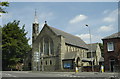
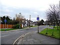
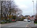
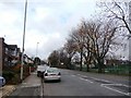
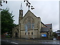
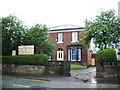
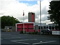
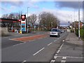
32 photos from this area
Area Information
Key information about the OL10 2HP including its size, population, and administrative classification.
- Area Type
- Postcode
- Area Size
- 1281 m²
- Population
- 2261
- Population Density
- 2440 people/km²
House Prices in OL10 2HP
7
Properties
£68,983
Average Sold Price
£41,950
Lowest Price
£100,950
Highest Price
Showing 7 properties
| Address | Type | Beds | Baths | Last Sale Price | Last Sale Date | |
|---|---|---|---|---|---|---|
| 17 Charles Street, Heywood, OL10 2HP | house | - | - | £70,000 | Jan 2020 | |
| 18 Charles Street, Heywood, OL10 2HP | Terraced | - | - | £100,950 | Nov 2009 | |
| 15 Charles Street, Heywood, OL10 2HP | house | - | - | £85,000 | Dec 2007 | |
| 19 Charles Street, Heywood, OL10 2HP | residential_space | - | - | £60,000 | May 2005 | |
| 14 Charles Street, Heywood, OL10 2HP | house | - | - | £56,000 | Jul 2001 | |
| 16 Charles Street, Heywood, OL10 2HP | Terraced | 3 | 2 | £41,950 | Aug 1995 | |
| 15A Charles Street, Heywood, OL10 2HP | Flat | - | - | - | - |
Energy Efficiency in OL10 2HP
Amenities
Schools
| Rank | School | Type | Entry gender | Ages |
|---|
Explore more schools in this area
Go to Schools tabDemographics
Household Size
Family (3-5 people)
most common
Accommodation Type
Houses
most common
Tenure
64
majority
Ethnic Group
White
most common
Religion
N/A
most common
Household Composition
N/A
most common
Age
47
median
Adults (30-64 years)
most common
Household Deprivation
N/A
with no deprivation
NS-SEC
29
in Lower managerial occupations
Explore more demographic insights in this area
Go to Demographics tabPlanning
Planning Constraints
- Flood RiskPremium
- Ramsar Wetland SitesPremium
- Area of Outstanding Natural BeautyPremium
- Protected Nature ReservePremium
- Protected WoodlandPremium