Area Overview for M8 4PQ
Photos of M8 4PQ
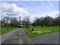
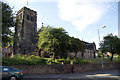
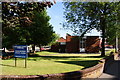
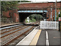
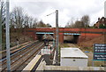
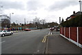
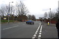
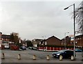

87 photos from this area
Area Information
Key information about the M8 4PQ including its size, population, and administrative classification.
- Area Type
- Postcode
- Area Size
- 6402 m²
- Population
- 1814
- Population Density
- 6442 people/km²
House Prices in M8 4PQ
38
Properties
£80,622
Average Sold Price
£21,000
Lowest Price
£170,000
Highest Price
Showing 38 properties
| Address | Type | Beds | Baths | Last Sale Price | Last Sale Date | |
|---|---|---|---|---|---|---|
| 27 Stanhorne Avenue, Manchester, M8 4PQ | house | 2 | 1 | £170,000 | Aug 2025 | |
| 16 Stanhorne Avenue, Manchester, M8 4PQ | house | - | - | £110,000 | Dec 2024 | |
| 28 Stanhorne Avenue, Manchester, M8 4PQ | Terraced | 2 | 1 | £123,000 | Aug 2020 | |
| 10 Stanhorne Avenue, Manchester, M8 4PQ | Terraced | 2 | 1 | £132,000 | Aug 2019 | |
| 24 Stanhorne Avenue, Manchester, M8 4PQ | Terraced | 2 | 1 | £85,000 | May 2018 | |
| 29 Stanhorne Avenue, Manchester, M8 4PQ | house | - | - | £94,000 | Mar 2018 | |
| 5 Stanhorne Avenue, Manchester, M8 4PQ | Terraced | 3 | 1 | £106,000 | Jan 2018 | |
| 2 Stanhorne Avenue, Manchester, M8 4PQ | Terraced | 2 | 1 | £112,078 | May 2017 | |
| 31 Stanhorne Avenue, Manchester, M8 4PQ | Terraced | 2 | 1 | £65,000 | Dec 2015 | |
| 6 Stanhorne Avenue, Manchester, M8 4PQ | Terraced | 3 | 1 | £56,600 | Apr 2015 |
Page 1 of 4
Energy Efficiency in M8 4PQ
Amenities
Schools
| Rank | School | Type | Entry gender | Ages |
|---|
Explore more schools in this area
Go to Schools tabDemographics
Household Size
Family (3-5 people)
most common
Accommodation Type
Houses
most common
Tenure
64
majority
Ethnic Group
White
most common
Religion
N/A
most common
Household Composition
N/A
most common
Age
47
median
Adults (30-64 years)
most common
Household Deprivation
N/A
with no deprivation
NS-SEC
21
in Lower managerial occupations
Explore more demographic insights in this area
Go to Demographics tabPlanning
Planning Constraints
- Flood RiskPremium
- Ramsar Wetland SitesPremium
- Area of Outstanding Natural BeautyPremium
- Protected Nature ReservePremium
- Protected WoodlandPremium