Area Overview for M46 0SL
Photos of M46 0SL
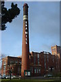
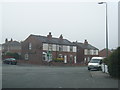
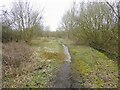
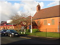

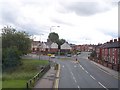
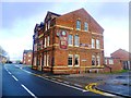

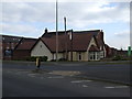


16 photos from this area
Area Information
Key information about the M46 0SL including its size, population, and administrative classification.
- Area Type
- Postcode
- Area Size
- 4245 m²
- Population
- 2629
- Population Density
- 1325 people/km²
House Prices in M46 0SL
41
Properties
£105,662
Average Sold Price
£75,000
Lowest Price
£130,000
Highest Price
Showing 41 properties
| Address | Type | Beds | Baths | Last Sale Price | Last Sale Date | |
|---|---|---|---|---|---|---|
| 38 Gadfield Court, Atherton, M46 0SL | Flat | 2 | 1 | £126,500 | Oct 2025 | |
| 39 Gadfield Court, Atherton, M46 0SL | Flat | 2 | 1 | £114,000 | Sep 2025 | |
| 30 Gadfield Court, Atherton, M46 0SL | Flat | - | - | £112,750 | Nov 2024 | |
| 21 Gadfield Court, Atherton, M46 0SL | Flat | - | - | £130,000 | Oct 2024 | |
| 4 Gadfield Court, Atherton, M46 0SL | Flat | - | - | £115,000 | Jun 2024 | |
| 19 Gadfield Court, Atherton, M46 0SL | Flat | - | - | £110,000 | Feb 2024 | |
| 42 Gadfield Court, Atherton, M46 0SL | Flat | 2 | 1 | £124,000 | Jan 2024 | |
| 25 Gadfield Court, Atherton, M46 0SL | Flat | - | - | £119,000 | Nov 2023 | |
| 26 Gadfield Court, Atherton, M46 0SL | Flat | - | - | £119,000 | Oct 2023 | |
| 7 Gadfield Court, Atherton, M46 0SL | Flat | - | - | £114,000 | Apr 2023 |
Page 1 of 5
Energy Efficiency in M46 0SL
Amenities
Schools
| Rank | School | Type | Entry gender | Ages |
|---|
Explore more schools in this area
Go to Schools tabDemographics
Household Size
Family (3-5 people)
most common
Accommodation Type
Houses
most common
Tenure
70
majority
Ethnic Group
White
most common
Religion
N/A
most common
Household Composition
N/A
most common
Age
47
median
Adults (30-64 years)
most common
Household Deprivation
N/A
with no deprivation
NS-SEC
33
in Lower managerial occupations
Explore more demographic insights in this area
Go to Demographics tabPlanning
Planning Constraints
- Flood RiskPremium
- Ramsar Wetland SitesPremium
- Area of Outstanding Natural BeautyPremium
- Protected Nature ReservePremium
- Protected WoodlandPremium