Area Overview for M45 8AF
Photos of M45 8AF

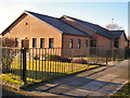
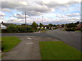
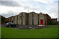
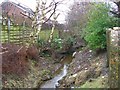
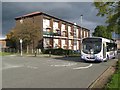

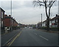
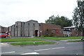
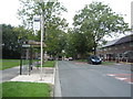
21 photos from this area
Area Information
Key information about the M45 8AF including its size, population, and administrative classification.
- Area Type
- Postcode
- Area Size
- 3672 m²
- Population
- 1869
- Population Density
- 3746 people/km²
House Prices in M45 8AF
14
Properties
£143,920
Average Sold Price
£59,376
Lowest Price
£315,000
Highest Price
Showing 14 properties
| Address | Type | Beds | Baths | Last Sale Price | Last Sale Date | |
|---|---|---|---|---|---|---|
| 56 Albert Road, Whitefield, M45 8AF | Detached | 3 | 1 | £315,000 | Jul 2025 | |
| 66 Albert Road, Whitefield, M45 8AF | Terraced | 3 | 1 | £240,000 | Jun 2023 | |
| 80 Albert Road, Whitefield, M45 8AF | house | - | - | £125,000 | Oct 2021 | |
| 70 Albert Road, Whitefield, M45 8AF | Terraced | 3 | 2 | £177,000 | Jul 2018 | |
| 68 Albert Road, Whitefield, M45 8AF | house | 3 | - | £59,376 | May 2014 | |
| 78 Albert Road, Whitefield, M45 8AF | Semi-detached | 2 | 1 | £105,000 | Sep 2011 | |
| 60 Albert Road, Whitefield, M45 8AF | house | - | - | £139,500 | Dec 2005 | |
| 64 Albert Road, Whitefield, M45 8AF | Semi-detached | - | - | £137,500 | Feb 2005 | |
| 62 Albert Road, Whitefield, M45 8AF | Semi-detached | - | - | £137,500 | Dec 2004 | |
| 58 Albert Road, Whitefield, M45 8AF | Semi-detached | - | - | £120,000 | Sep 2004 |
Page 1 of 2
Energy Efficiency in M45 8AF
Amenities
Schools
| Rank | School | Type | Entry gender | Ages |
|---|
Explore more schools in this area
Go to Schools tabDemographics
Household Size
Family (3-5 people)
most common
Accommodation Type
Houses
most common
Tenure
56
majority
Ethnic Group
White
most common
Religion
N/A
most common
Household Composition
N/A
most common
Age
47
median
Adults (30-64 years)
most common
Household Deprivation
N/A
with no deprivation
NS-SEC
25
in Lower managerial occupations
Explore more demographic insights in this area
Go to Demographics tabPlanning
Planning Constraints
- Flood RiskPremium
- Ramsar Wetland SitesPremium
- Area of Outstanding Natural BeautyPremium
- Protected Nature ReservePremium
- Protected WoodlandPremium