Area Overview for M41 9PJ
Photos of M41 9PJ
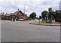
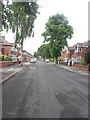
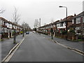
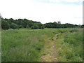
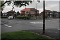
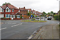
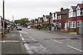
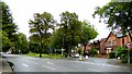

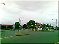
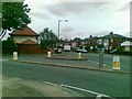

35 photos from this area
Area Information
Key information about the M41 9PJ including its size, population, and administrative classification.
- Area Type
- Postcode
- Area Size
- 7709 m²
- Population
- 1749
- Population Density
- 7098 people/km²
House Prices in M41 9PJ
43
Properties
£166,213
Average Sold Price
£35,000
Lowest Price
£286,000
Highest Price
Showing 43 properties
| Address | Type | Beds | Baths | Last Sale Price | Last Sale Date | |
|---|---|---|---|---|---|---|
| 54 Firwood Avenue, Urmston, M41 9PJ | Terraced | 2 | 1 | £286,000 | Jan 2025 | |
| 46 Firwood Avenue, Urmston, M41 9PJ | Terraced | - | - | £243,500 | Dec 2023 | |
| 6 Firwood Avenue, Urmston, M41 9PJ | house | - | - | £255,000 | Jul 2022 | |
| 66 Firwood Avenue, Urmston, M41 9PJ | house | 3 | 1 | £250,000 | May 2022 | |
| 42 Firwood Avenue, Urmston, M41 9PJ | house | - | - | £255,000 | Jan 2022 | |
| 48 Firwood Avenue, Urmston, M41 9PJ | Terraced | 2 | 1 | £250,000 | Aug 2021 | |
| 58 Firwood Avenue, Urmston, M41 9PJ | house | - | - | £209,000 | Jul 2021 | |
| 70 Firwood Avenue, Urmston, M41 9PJ | Terraced | 3 | 1 | £274,125 | May 2021 | |
| 84 Firwood Avenue, Urmston, M41 9PJ | house | - | - | £268,000 | Mar 2021 | |
| 38 Firwood Avenue, Urmston, M41 9PJ | Terraced | 2 | 1 | £210,000 | Aug 2020 |
Page 1 of 5
Energy Efficiency in M41 9PJ
Amenities
Schools
| Rank | School | Type | Entry gender | Ages |
|---|
Explore more schools in this area
Go to Schools tabDemographics
Household Size
Family (3-5 people)
most common
Accommodation Type
Houses
most common
Tenure
81
majority
Ethnic Group
White
most common
Religion
N/A
most common
Household Composition
N/A
most common
Age
47
median
Adults (30-64 years)
most common
Household Deprivation
N/A
with no deprivation
NS-SEC
40
in Lower managerial occupations
Explore more demographic insights in this area
Go to Demographics tabPlanning
Planning Constraints
- Flood RiskPremium
- Ramsar Wetland SitesPremium
- Area of Outstanding Natural BeautyPremium
- Protected Nature ReservePremium
- Protected WoodlandPremium