Area Overview for M35 0JT
Photos of M35 0JT
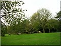


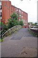
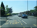
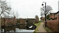
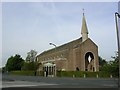

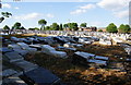
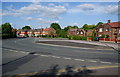
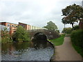
28 photos from this area
Area Information
Key information about the M35 0JT including its size, population, and administrative classification.
- Area Type
- Postcode
- Area Size
- 8438 m²
- Population
- 1486
- Population Density
- 7196 people/km²
House Prices in M35 0JT
34
Properties
£115,004
Average Sold Price
£20,000
Lowest Price
£218,000
Highest Price
Showing 34 properties
| Address | Type | Beds | Baths | Last Sale Price | Last Sale Date | |
|---|---|---|---|---|---|---|
| 71 Farm Street, Failsworth, M35 0JT | Detached | 3 | 1 | £218,000 | Nov 2025 | |
| 84 Farm Street, Failsworth, M35 0JT | Detached | 2 | 1 | £194,000 | Jul 2025 | |
| 78 Farm Street, Failsworth, M35 0JT | Semi-detached | 2 | 1 | £216,000 | Dec 2024 | |
| 65 Farm Street, Failsworth, M35 0JT | house | - | - | £150,000 | Jun 2022 | |
| 93 Farm Street, Failsworth, M35 0JT | house | - | - | £162,500 | Sep 2021 | |
| 77 Farm Street, Failsworth, M35 0JT | house | - | - | £133,230 | May 2021 | |
| 80 Farm Street, Failsworth, M35 0JT | Semi-detached | 2 | 1 | £126,000 | Oct 2018 | |
| 73 Farm Street, Failsworth, M35 0JT | house | 3 | 1 | £100,000 | Sep 2018 | |
| 82 Farm Street, Failsworth, M35 0JT | house | - | - | £120,500 | Nov 2016 | |
| 62 Farm Street, Failsworth, M35 0JT | house | - | - | £82,500 | Jun 2016 |
Page 1 of 4
Energy Efficiency in M35 0JT
Amenities
Schools
| Rank | School | Type | Entry gender | Ages |
|---|
Explore more schools in this area
Go to Schools tabDemographics
Household Size
Family (3-5 people)
most common
Accommodation Type
Houses
most common
Tenure
66
majority
Ethnic Group
White
most common
Religion
N/A
most common
Household Composition
N/A
most common
Age
47
median
Adults (30-64 years)
most common
Household Deprivation
N/A
with no deprivation
NS-SEC
23
in Lower managerial occupations
Explore more demographic insights in this area
Go to Demographics tabPlanning
Planning Constraints
- Flood RiskPremium
- Ramsar Wetland SitesPremium
- Area of Outstanding Natural BeautyPremium
- Protected Nature ReservePremium
- Protected WoodlandPremium