Area Overview for M34 3RL
Photos of M34 3RL
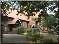
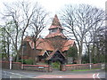
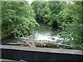
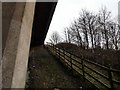
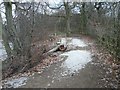
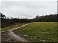
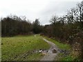
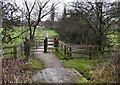
100 photos from this area
Area Information
Key information about the M34 3RL including its size, population, and administrative classification.
- Area Type
- Postcode
- Area Size
- 5300 m²
- Population
- 1413
- Population Density
- 3769 people/km²
House Prices in M34 3RL
18
Properties
£137,209
Average Sold Price
£51,750
Lowest Price
£205,000
Highest Price
Showing 18 properties
| Address | Type | Beds | Baths | Last Sale Price | Last Sale Date | |
|---|---|---|---|---|---|---|
| 137 Moorside Lane, Denton, M34 3RL | Semi-detached | 2 | 1 | £205,000 | Aug 2025 | |
| 109 Moorside Lane, Denton, M34 3RL | Semi-detached | 2 | 1 | £177,000 | May 2024 | |
| 115 Moorside Lane, Denton, M34 3RL | Semi-detached | 2 | 1 | £187,000 | May 2023 | |
| 131 Moorside Lane, Denton, M34 3RL | house | - | - | £200,000 | Aug 2022 | |
| 129 Moorside Lane, Denton, M34 3RL | Semi-detached | 2 | 1 | £140,000 | Mar 2019 | |
| 119 Moorside Lane, Denton, M34 3RL | Semi-detached | 2 | 1 | £135,000 | Jan 2019 | |
| 107 Moorside Lane, Denton, M34 3RL | Semi-detached | 3 | 1 | £128,000 | Aug 2015 | |
| 135 Moorside Lane, Denton, M34 3RL | house | 4 | - | £170,000 | Aug 2013 | |
| 125 Moorside Lane, Denton, M34 3RL | house | - | - | £122,000 | Sep 2009 | |
| 117 Moorside Lane, Denton, M34 3RL | Semi-detached | - | - | £137,500 | Jun 2007 |
Page 1 of 2
Energy Efficiency in M34 3RL
Amenities
Schools
| Rank | School | Type | Entry gender | Ages |
|---|
Explore more schools in this area
Go to Schools tabDemographics
Household Size
Two person
most common
Accommodation Type
Houses
most common
Tenure
86
majority
Ethnic Group
White
most common
Religion
N/A
most common
Household Composition
N/A
most common
Age
47
median
Adults (30-64 years)
most common
Household Deprivation
N/A
with no deprivation
NS-SEC
30
in Lower managerial occupations
Explore more demographic insights in this area
Go to Demographics tabPlanning
Planning Constraints
- Flood RiskPremium
- Ramsar Wetland SitesPremium
- Area of Outstanding Natural BeautyPremium
- Protected Nature ReservePremium
- Protected WoodlandPremium