Area Overview for M34 3BQ
Photos of M34 3BQ

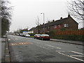
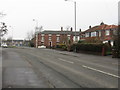
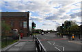

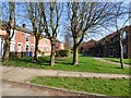
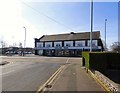
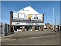
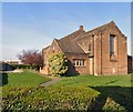
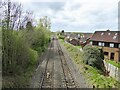

52 photos from this area
Area Information
Key information about the M34 3BQ including its size, population, and administrative classification.
- Area Type
- Postcode
- Area Size
- 8900 m²
- Population
- 1692
- Population Density
- 3397 people/km²
House Prices in M34 3BQ
17
Properties
£72,986
Average Sold Price
£31,000
Lowest Price
£175,000
Highest Price
Showing 17 properties
| Address | Type | Beds | Baths | Last Sale Price | Last Sale Date | |
|---|---|---|---|---|---|---|
| 181 St Annes Road, Denton, M34 3BQ | house | - | - | £130,000 | Sep 2025 | |
| 161 St Annes Road, Denton, M34 3BQ | Terraced | 2 | 1 | £175,000 | Sep 2024 | |
| 173 St Annes Road, Denton, M34 3BQ | Semi-detached | - | - | £57,000 | Nov 2001 | |
| 167 St Annes Road, Denton, M34 3BQ | Semi-detached | - | - | £35,000 | Dec 1998 | |
| 177 St Annes Road, Denton, M34 3BQ | Terraced | - | - | £50,900 | Oct 1998 | |
| 169 St Annes Road, Denton, M34 3BQ | Semi-detached | - | - | £31,000 | Jul 1996 | |
| 151 St Annes Road, Denton, M34 3BQ | Semi-detached | - | - | £32,000 | Feb 1996 | |
| 165 St Annes Road, Denton, M34 3BQ | house | - | - | - | - | |
| 171 St Annes Road, Denton, M34 3BQ | house | - | - | - | - | |
| 179 St Annes Road, Denton, M34 3BQ | Terraced | - | - | - | - |
Page 1 of 2
Energy Efficiency in M34 3BQ
Amenities
Schools
| Rank | School | Type | Entry gender | Ages |
|---|
Explore more schools in this area
Go to Schools tabDemographics
Household Size
One person
most common
Accommodation Type
Houses
most common
Tenure
52
majority
Ethnic Group
White
most common
Religion
N/A
most common
Household Composition
N/A
most common
Age
47
median
Adults (30-64 years)
most common
Household Deprivation
N/A
with no deprivation
NS-SEC
22
in Lower managerial occupations
Explore more demographic insights in this area
Go to Demographics tabPlanning
Planning Constraints
- Flood RiskPremium
- Ramsar Wetland SitesPremium
- Area of Outstanding Natural BeautyPremium
- Protected Nature ReservePremium
- Protected WoodlandPremium