Area Overview for M34 2FR
Photos of M34 2FR

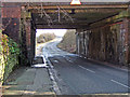

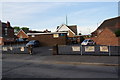
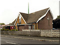
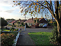
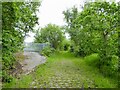
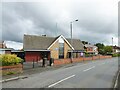
53 photos from this area
Area Information
Key information about the M34 2FR including its size, population, and administrative classification.
- Area Type
- Postcode
- Area Size
- 1.2 hectares
- Population
- 1518
- Population Density
- 3992 people/km²
House Prices in M34 2FR
20
Properties
£198,439
Average Sold Price
£64,560
Lowest Price
£375,000
Highest Price
Showing 20 properties
| Address | Type | Beds | Baths | Last Sale Price | Last Sale Date | |
|---|---|---|---|---|---|---|
| 762 Windmill Lane, Denton, M34 2FR | Detached | 5 | 2 | £375,000 | Jul 2022 | |
| 802 Windmill Lane, Denton, M34 2FR | Bungalow | - | - | £225,000 | Jun 2019 | |
| 784 Windmill Lane, Denton, M34 2FR | Semi-detached | 3 | 1 | £233,000 | Jan 2018 | |
| 768 Windmill Lane, Denton, M34 2FR | house | - | - | £195,000 | Feb 2017 | |
| 800 Windmill Lane, Denton, M34 2FR | Semi-detached | - | - | £210,000 | Sep 2010 | |
| 778 Windmill Lane, Denton, M34 2FR | Bungalow | 2 | 1 | £145,000 | Nov 2003 | |
| 798 Windmill Lane, Denton, M34 2FR | Semi-detached | - | - | £139,950 | Feb 2003 | |
| 794 Windmill Lane, Denton, M34 2FR | Semi-detached | - | - | £64,560 | Feb 1999 | |
| 764 Windmill Lane, Denton, M34 2FR | Bungalow | 3 | 1 | - | - | |
| 786 Windmill Lane, Denton, M34 2FR | Semi-detached | - | - | - | - |
Page 1 of 2
Energy Efficiency in M34 2FR
Amenities
Schools
| Rank | School | Type | Entry gender | Ages |
|---|
Explore more schools in this area
Go to Schools tabDemographics
Household Size
Two person
most common
Accommodation Type
Houses
most common
Tenure
90
majority
Ethnic Group
White
most common
Religion
N/A
most common
Household Composition
N/A
most common
Age
47
median
Adults (30-64 years)
most common
Household Deprivation
N/A
with no deprivation
NS-SEC
34
in Lower managerial occupations
Explore more demographic insights in this area
Go to Demographics tabPlanning
Planning Constraints
- Flood RiskPremium
- Ramsar Wetland SitesPremium
- Area of Outstanding Natural BeautyPremium
- Protected Nature ReservePremium
- Protected WoodlandPremium