Area Overview for M30 8BQ
Photos of M30 8BQ
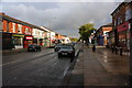
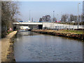
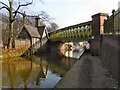

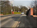
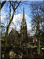
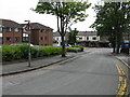
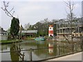
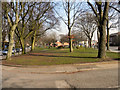
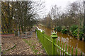
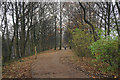
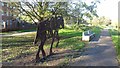
59 photos from this area
Area Information
Key information about the M30 8BQ including its size, population, and administrative classification.
- Area Type
- Postcode
- Area Size
- 1.8 hectares
- Population
- 1349
- Population Density
- 7744 people/km²
House Prices in M30 8BQ
97
Properties
£102,497
Average Sold Price
£23,250
Lowest Price
£313,750
Highest Price
Showing 97 properties
| Address | Type | Beds | Baths | Last Sale Price | Last Sale Date | |
|---|---|---|---|---|---|---|
| 93 Montonmill Gardens, Eccles, M30 8BQ | Flat | 1 | 1 | £150,000 | Aug 2025 | |
| 163 Montonmill Gardens, Eccles, M30 8BQ | Semi-detached | 2 | 1 | £280,000 | Mar 2025 | |
| 101 Montonmill Gardens, Eccles, M30 8BQ | Flat | - | - | £155,550 | Oct 2024 | |
| 87 Montonmill Gardens, Eccles, M30 8BQ | Flat | 2 | 1 | £156,000 | Jun 2024 | |
| 155 Montonmill Gardens, Eccles, M30 8BQ | Flat | - | - | £129,000 | May 2024 | |
| 77 Montonmill Gardens, Eccles, M30 8BQ | Detached | 4 | 3 | £313,750 | Apr 2024 | |
| 143 Montonmill Gardens, Eccles, M30 8BQ | Flat | 1 | 1 | £140,500 | Feb 2024 | |
| 59 Montonmill Gardens, Eccles, M30 8BQ | Flat | - | - | £123,000 | Jul 2023 | |
| 103 Montonmill Gardens, Eccles, M30 8BQ | Flat | - | - | £110,000 | Apr 2023 | |
| 149 Montonmill Gardens, Eccles, M30 8BQ | Flat | - | - | £120,000 | Mar 2023 |
Page 1 of 10
Energy Efficiency in M30 8BQ
Amenities
Schools
| Rank | School | Type | Entry gender | Ages |
|---|
Explore more schools in this area
Go to Schools tabDemographics
Household Size
One person
most common
Accommodation Type
Houses
most common
Tenure
55
majority
Ethnic Group
White
most common
Religion
N/A
most common
Household Composition
N/A
most common
Age
47
median
Adults (30-64 years)
most common
Household Deprivation
N/A
with no deprivation
NS-SEC
34
in Lower managerial occupations
Explore more demographic insights in this area
Go to Demographics tabPlanning
Planning Constraints
- Flood RiskPremium
- Ramsar Wetland SitesPremium
- Area of Outstanding Natural BeautyPremium
- Protected Nature ReservePremium
- Protected WoodlandPremium