Area Overview for M28 7ET
Photos of M28 7ET
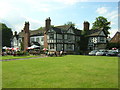
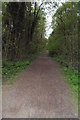
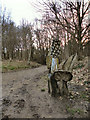
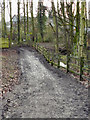


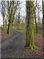
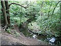
38 photos from this area
Area Information
Key information about the M28 7ET including its size, population, and administrative classification.
- Area Type
- Postcode
- Area Size
- 2.6 hectares
- Population
- 1746
- Population Density
- 3436 people/km²
House Prices in M28 7ET
30
Properties
£293,883
Average Sold Price
£83,750
Lowest Price
£510,000
Highest Price
Showing 30 properties
| Address | Type | Beds | Baths | Last Sale Price | Last Sale Date | |
|---|---|---|---|---|---|---|
| 16 Cranleigh Drive, Worsley, M28 7ET | Detached | 4 | 2 | £472,750 | Aug 2025 | |
| 20 Cranleigh Drive, Worsley, M28 7ET | Detached | 4 | 3 | £135,000 | Apr 2025 | |
| 32 Cranleigh Drive, Worsley, M28 7ET | Detached | 4 | 2 | £510,000 | Mar 2025 | |
| 2 Cranleigh Drive, Worsley, M28 7ET | Bungalow | - | - | £233,000 | Aug 2022 | |
| 36 Cranleigh Drive, Worsley, M28 7ET | house | - | - | £410,000 | Feb 2021 | |
| 5 Cranleigh Drive, Worsley, M28 7ET | Bungalow | - | - | £180,000 | Dec 2020 | |
| 1 Cranleigh Drive, Worsley, M28 7ET | Bungalow | 2 | 2 | £178,000 | Mar 2019 | |
| 42 Cranleigh Drive, Worsley, M28 7ET | house | 4 | 2 | £409,995 | May 2018 | |
| 40 Cranleigh Drive, Worsley, M28 7ET | house | - | - | £389,995 | Apr 2018 | |
| 38 Cranleigh Drive, Worsley, M28 7ET | house | - | - | £394,995 | Jan 2018 |
Page 1 of 3
Energy Efficiency in M28 7ET
Amenities
Schools
| Rank | School | Type | Entry gender | Ages |
|---|
Explore more schools in this area
Go to Schools tabDemographics
Household Size
Two person
most common
Accommodation Type
Houses
most common
Tenure
81
majority
Ethnic Group
White
most common
Religion
N/A
most common
Household Composition
N/A
most common
Age
47
median
Adults (30-64 years)
most common
Household Deprivation
N/A
with no deprivation
NS-SEC
47
in Lower managerial occupations
Explore more demographic insights in this area
Go to Demographics tabPlanning
Planning Constraints
- Flood RiskPremium
- Ramsar Wetland SitesPremium
- Area of Outstanding Natural BeautyPremium
- Protected Nature ReservePremium
- Protected WoodlandPremium