Area Overview for M28 7ER
Photos of M28 7ER
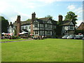
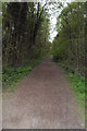
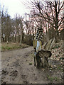
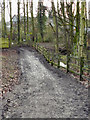


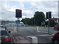
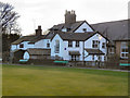
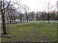
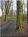
38 photos from this area
Area Information
Key information about the M28 7ER including its size, population, and administrative classification.
- Area Type
- Postcode
- Area Size
- 8697 m²
- Population
- 1746
- Population Density
- 3436 people/km²
House Prices in M28 7ER
22
Properties
£140,704
Average Sold Price
£50,000
Lowest Price
£269,000
Highest Price
Showing 22 properties
| Address | Type | Beds | Baths | Last Sale Price | Last Sale Date | |
|---|---|---|---|---|---|---|
| 344 Walkden Road, Worsley, M28 7ER | Semi-detached | 3 | 1 | £269,000 | Dec 2023 | |
| 348 Walkden Road, Worsley, M28 7ER | house | - | - | £240,000 | Aug 2023 | |
| 328 Walkden Road, Worsley, M28 7ER | house | 4 | 1 | £235,000 | Aug 2022 | |
| 352 Walkden Road, Worsley, M28 7ER | Semi-detached | - | - | £60,000 | Oct 2020 | |
| 324 Walkden Road, Worsley, M28 7ER | Terraced | 2 | 1 | £104,500 | Jul 2014 | |
| 338 Walkden Road, Worsley, M28 7ER | house | - | - | £179,950 | Sep 2011 | |
| 340 Walkden Road, Worsley, M28 7ER | house | 3 | - | £175,000 | Dec 2010 | |
| 334 Walkden Road, Worsley, M28 7ER | house | - | - | £120,000 | Jul 2009 | |
| 336 Walkden Road, Worsley, M28 7ER | house | - | - | £135,000 | Oct 2002 | |
| 322 Walkden Road, Worsley, M28 7ER | Semi-detached | 4 | 2 | £50,000 | Mar 2001 |
Page 1 of 3
Energy Efficiency in M28 7ER
Amenities
Schools
| Rank | School | Type | Entry gender | Ages |
|---|
Explore more schools in this area
Go to Schools tabDemographics
Household Size
Two person
most common
Accommodation Type
Houses
most common
Tenure
81
majority
Ethnic Group
White
most common
Religion
N/A
most common
Household Composition
N/A
most common
Age
47
median
Adults (30-64 years)
most common
Household Deprivation
N/A
with no deprivation
NS-SEC
47
in Lower managerial occupations
Explore more demographic insights in this area
Go to Demographics tabPlanning
Planning Constraints
- Flood RiskPremium
- Ramsar Wetland SitesPremium
- Area of Outstanding Natural BeautyPremium
- Protected Nature ReservePremium
- Protected WoodlandPremium