Area Overview for M25 9RR
Photos of M25 9RR
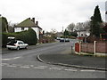
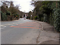
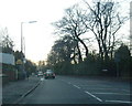
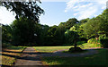
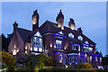
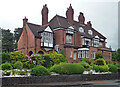
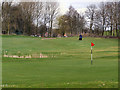
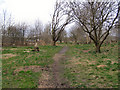
33 photos from this area
Area Information
Key information about the M25 9RR including its size, population, and administrative classification.
- Area Type
- Postcode
- Area Size
- 5869 m²
- Population
- 1675
- Population Density
- 3507 people/km²
House Prices in M25 9RR
15
Properties
£207,875
Average Sold Price
£76,500
Lowest Price
£325,000
Highest Price
Showing 15 properties
| Address | Type | Beds | Baths | Last Sale Price | Last Sale Date | |
|---|---|---|---|---|---|---|
| 10 Beckley Avenue, Prestwich, M25 9RR | house | 4 | 2 | £325,000 | Nov 2021 | |
| 20 Beckley Avenue, Prestwich, M25 9RR | Semi-detached | 3 | 2 | £200,000 | Jul 2021 | |
| 24 Beckley Avenue, Prestwich, M25 9RR | Semi-detached | 3 | - | £214,000 | Aug 2017 | |
| 2 Beckley Avenue, Prestwich, M25 9RR | Semi-detached | 3 | 1 | £273,000 | Mar 2016 | |
| 4 Beckley Avenue, Prestwich, M25 9RR | house | - | - | £242,000 | Oct 2015 | |
| 16 Beckley Avenue, Prestwich, M25 9RR | house | - | - | £142,500 | Aug 2011 | |
| 14 Beckley Avenue, Prestwich, M25 9RR | Semi-detached | - | - | £190,000 | Dec 2009 | |
| 30 Beckley Avenue, Prestwich, M25 9RR | house | - | - | £76,500 | Jul 1996 | |
| 12 Beckley Avenue, Prestwich, M25 9RR | Semi-detached | 5 | 2 | - | - | |
| 26 Beckley Avenue, Prestwich, M25 9RR | Semi-detached | - | - | - | - |
Page 1 of 2
Energy Efficiency in M25 9RR
Amenities
Schools
| Rank | School | Type | Entry gender | Ages |
|---|
Explore more schools in this area
Go to Schools tabDemographics
Household Size
Family (3-5 people)
most common
Accommodation Type
Houses
most common
Tenure
72
majority
Ethnic Group
White
most common
Religion
N/A
most common
Household Composition
N/A
most common
Age
47
median
Adults (30-64 years)
most common
Household Deprivation
N/A
with no deprivation
NS-SEC
44
in Lower managerial occupations
Explore more demographic insights in this area
Go to Demographics tabPlanning
Planning Constraints
- Flood RiskPremium
- Ramsar Wetland SitesPremium
- Area of Outstanding Natural BeautyPremium
- Protected Nature ReservePremium
- Protected WoodlandPremium