Area Overview for M25 0LZ
Photos of M25 0LZ
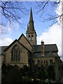

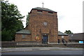
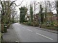

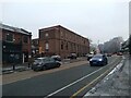
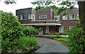
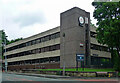
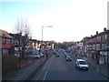
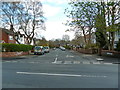
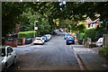
35 photos from this area
Area Information
Key information about the M25 0LZ including its size, population, and administrative classification.
- Area Type
- Postcode
- Area Size
- 7135 m²
- Population
- 1964
- Population Density
- 13639 people/km²
House Prices in M25 0LZ
30
Properties
£225,747
Average Sold Price
£59,450
Lowest Price
£360,000
Highest Price
Showing 30 properties
| Address | Type | Beds | Baths | Last Sale Price | Last Sale Date | |
|---|---|---|---|---|---|---|
| 30 Richmond Avenue, Prestwich, M25 0LZ | Semi-detached | 4 | 2 | £360,000 | Mar 2025 | |
| 34 Richmond Avenue, Prestwich, M25 0LZ | Semi-detached | 4 | 1 | £325,000 | Sep 2024 | |
| 39 Richmond Avenue, Prestwich, M25 0LZ | house | - | - | £325,000 | Feb 2022 | |
| 24 Richmond Avenue, Prestwich, M25 0LZ | Semi-detached | 6 | 3 | £360,000 | Jan 2019 | |
| 22 Richmond Avenue, Prestwich, M25 0LZ | Semi-detached | 4 | - | £267,000 | Apr 2018 | |
| 38 Richmond Avenue, Prestwich, M25 0LZ | house | - | - | £232,500 | Nov 2017 | |
| 19 Richmond Avenue, Prestwich, M25 0LZ | Semi-detached | 3 | 1 | £255,000 | Apr 2017 | |
| 32 Richmond Avenue, Prestwich, M25 0LZ | house | - | - | £237,500 | Oct 2016 | |
| 25 Richmond Avenue, Prestwich, M25 0LZ | house | - | - | £199,000 | Mar 2016 | |
| 33 Richmond Avenue, Prestwich, M25 0LZ | Semi-detached | - | - | £114,500 | Jul 2013 |
Page 1 of 3
Energy Efficiency in M25 0LZ
Amenities
Schools
| Rank | School | Type | Entry gender | Ages |
|---|
Explore more schools in this area
Go to Schools tabDemographics
Household Size
Large (6+ people)
most common
Accommodation Type
Houses
most common
Tenure
55
majority
Ethnic Group
White
most common
Religion
N/A
most common
Household Composition
N/A
most common
Age
22
median
Children (0-14 years)
most common
Household Deprivation
N/A
with no deprivation
NS-SEC
35
in Lower managerial occupations
Explore more demographic insights in this area
Go to Demographics tabPlanning
Planning Constraints
- Flood RiskPremium
- Ramsar Wetland SitesPremium
- Area of Outstanding Natural BeautyPremium
- Protected Nature ReservePremium
- Protected WoodlandPremium