Area Overview for M25 0LN
Photos of M25 0LN
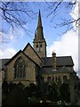
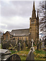
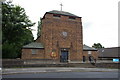
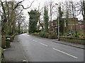
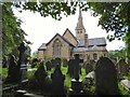
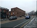
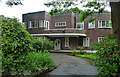
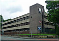
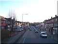
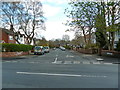
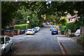
35 photos from this area
Area Information
Key information about the M25 0LN including its size, population, and administrative classification.
- Area Type
- Postcode
- Area Size
- 7461 m²
- Population
- 1964
- Population Density
- 13639 people/km²
House Prices in M25 0LN
50
Properties
£145,881
Average Sold Price
£35,000
Lowest Price
£292,250
Highest Price
Showing 50 properties
| Address | Type | Beds | Baths | Last Sale Price | Last Sale Date | |
|---|---|---|---|---|---|---|
| 64 Kings Road, Prestwich, M25 0LN | house | - | - | £210,000 | Jun 2023 | |
| 25 Kings Road, Prestwich, M25 0LN | house | - | - | £265,000 | Oct 2020 | |
| 46 Kings Road, Prestwich, M25 0LN | Detached | - | - | £165,000 | Jan 2020 | |
| 60 Kings Road, Prestwich, M25 0LN | house | 3 | 1 | £245,500 | Mar 2017 | |
| 66 Kings Road, Prestwich, M25 0LN | house | - | - | £190,000 | Dec 2016 | |
| 27 Kings Road, Prestwich, M25 0LN | Semi-detached | - | - | £230,000 | Sep 2016 | |
| 68 Kings Road, Prestwich, M25 0LN | house | - | - | £190,000 | Jan 2015 | |
| 37 Kings Road, Prestwich, M25 0LN | house | - | - | £207,000 | Apr 2014 | |
| 47 Kings Road, Prestwich, M25 0LN | house | - | - | £292,250 | Oct 2007 | |
| 50 Kings Road, Prestwich, M25 0LN | house | - | - | £157,000 | Sep 2006 |
Page 1 of 5
Energy Efficiency in M25 0LN
Amenities
Schools
| Rank | School | Type | Entry gender | Ages |
|---|
Explore more schools in this area
Go to Schools tabDemographics
Household Size
Large (6+ people)
most common
Accommodation Type
Houses
most common
Tenure
55
majority
Ethnic Group
White
most common
Religion
N/A
most common
Household Composition
N/A
most common
Age
22
median
Children (0-14 years)
most common
Household Deprivation
N/A
with no deprivation
NS-SEC
35
in Lower managerial occupations
Explore more demographic insights in this area
Go to Demographics tabPlanning
Planning Constraints
- Flood RiskPremium
- Ramsar Wetland SitesPremium
- Area of Outstanding Natural BeautyPremium
- Protected Nature ReservePremium
- Protected WoodlandPremium