Area Overview for M21 8XW
Photos of M21 8XW
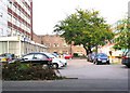
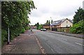
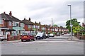
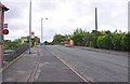


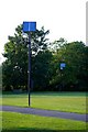
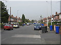
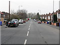
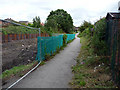
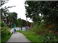
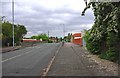
100 photos from this area
Area Information
Key information about the M21 8XW including its size, population, and administrative classification.
- Area Type
- Postcode
- Area Size
- 1.4 hectares
- Population
- 1479
- Population Density
- 5502 people/km²
House Prices in M21 8XW
66
Properties
£188,294
Average Sold Price
£59,950
Lowest Price
£427,000
Highest Price
Showing 66 properties
| Address | Type | Beds | Baths | Last Sale Price | Last Sale Date | |
|---|---|---|---|---|---|---|
| 90 Corkland Road, Manchester, M21 8XW | Terraced | 3 | 2 | £427,000 | Oct 2025 | |
| 80 Corkland Road, Manchester, M21 8XW | Terraced | 2 | 1 | £350,000 | Aug 2025 | |
| 83 Corkland Road, Manchester, M21 8XW | house | - | - | £375,000 | Jan 2025 | |
| 104 Corkland Road, Manchester, M21 8XW | house | - | - | £257,500 | Jan 2021 | |
| 93 Corkland Road, Manchester, M21 8XW | house | - | - | £240,000 | Feb 2016 | |
| 105 Corkland Road, Manchester, M21 8XW | Terraced | 2 | 1 | £212,000 | Nov 2015 | |
| 107 Corkland Road, Manchester, M21 8XW | house | - | - | £250,000 | Jun 2014 | |
| 91 Corkland Road, Manchester, M21 8XW | house | - | - | £195,000 | Mar 2014 | |
| 98 Corkland Road, Manchester, M21 8XW | Terraced | 2 | 1 | £189,950 | Jan 2014 | |
| 96 Corkland Road, Manchester, M21 8XW | Terraced | 3 | 2 | £195,000 | Sep 2012 |
Page 1 of 7
Energy Efficiency in M21 8XW
Amenities
Schools
| Rank | School | Type | Entry gender | Ages |
|---|
Explore more schools in this area
Go to Schools tabDemographics
Household Size
Family (3-5 people)
most common
Accommodation Type
Houses
most common
Tenure
72
majority
Ethnic Group
White
most common
Religion
N/A
most common
Household Composition
N/A
most common
Age
47
median
Adults (30-64 years)
most common
Household Deprivation
N/A
with no deprivation
NS-SEC
66
in Lower managerial occupations
Explore more demographic insights in this area
Go to Demographics tabPlanning
Planning Constraints
- Flood RiskPremium
- Ramsar Wetland SitesPremium
- Area of Outstanding Natural BeautyPremium
- Protected Nature ReservePremium
- Protected WoodlandPremium