Area Overview for M21 0XD
Photos of M21 0XD
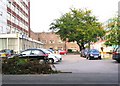
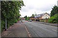
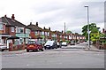
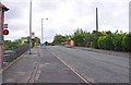


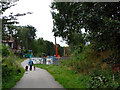
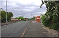
100 photos from this area
Area Information
Key information about the M21 0XD including its size, population, and administrative classification.
- Area Type
- Postcode
- Area Size
- 2.7 hectares
- Population
- 1482
- Population Density
- 5726 people/km²
House Prices in M21 0XD
36
Properties
£248,144
Average Sold Price
£40,000
Lowest Price
£525,000
Highest Price
Showing 36 properties
| Address | Type | Beds | Baths | Last Sale Price | Last Sale Date | |
|---|---|---|---|---|---|---|
| 153 Egerton Road South, Manchester, M21 0XD | Semi-detached | 3 | 1 | £525,000 | Jun 2023 | |
| 143 Egerton Road South, Manchester, M21 0XD | house | - | - | £485,000 | Sep 2022 | |
| 157 Egerton Road South, Manchester, M21 0XD | Semi-detached | 3 | 1 | £486,500 | Jul 2022 | |
| 129 Egerton Road South, Manchester, M21 0XD | house | 3 | - | £405,500 | Mar 2022 | |
| 187 Egerton Road South, Manchester, M21 0XD | Semi-detached | 4 | 2 | £250,000 | Nov 2013 | |
| 133 Egerton Road South, Manchester, M21 0XD | house | - | - | £275,000 | Sep 2011 | |
| 165 Egerton Road South, Manchester, M21 0XD | house | - | - | £222,500 | Aug 2011 | |
| 141 Egerton Road South, Manchester, M21 0XD | house | - | - | £215,000 | Jun 2011 | |
| 169 Egerton Road South, Manchester, M21 0XD | Semi-detached | - | - | £245,000 | Jun 2007 | |
| 147 Egerton Road South, Manchester, M21 0XD | Semi-detached | - | - | £197,000 | Apr 2007 |
Page 1 of 4
Energy Efficiency in M21 0XD
Amenities
Schools
| Rank | School | Type | Entry gender | Ages |
|---|
Explore more schools in this area
Go to Schools tabDemographics
Household Size
One person
most common
Accommodation Type
Houses
most common
Tenure
70
majority
Ethnic Group
White
most common
Religion
N/A
most common
Household Composition
N/A
most common
Age
47
median
Adults (30-64 years)
most common
Household Deprivation
N/A
with no deprivation
NS-SEC
52
in Lower managerial occupations
Explore more demographic insights in this area
Go to Demographics tabPlanning
Planning Constraints
- Flood RiskPremium
- Ramsar Wetland SitesPremium
- Area of Outstanding Natural BeautyPremium
- Protected Nature ReservePremium
- Protected WoodlandPremium