Area Overview for M21 0YJ
Photos of M21 0YJ
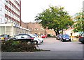
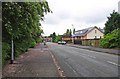
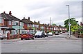
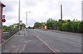
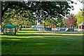
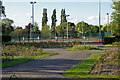
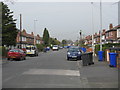
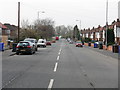
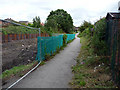
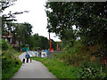
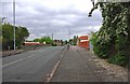
100 photos from this area
Area Information
Key information about the M21 0YJ including its size, population, and administrative classification.
- Area Type
- Postcode
- Area Size
- 7410 m²
- Population
- 1482
- Population Density
- 199988 people/km²
House Prices in M21 0YJ
18
Properties
£214,013
Average Sold Price
£57,000
Lowest Price
£480,000
Highest Price
Showing 18 properties
| Address | Type | Beds | Baths | Last Sale Price | Last Sale Date | |
|---|---|---|---|---|---|---|
| 28 Lambton Road, Manchester, M21 0YJ | house | - | - | £60,000 | Oct 2024 | |
| 18 Lambton Road, Manchester, M21 0YJ | house | - | - | £385,000 | Dec 2023 | |
| 32 Lambton Road, Manchester, M21 0YJ | house | - | - | £375,000 | Jun 2023 | |
| 38 Lambton Road, Manchester, M21 0YJ | Semi-detached | 3 | 1 | £480,000 | Oct 2022 | |
| 44 Lambton Road, Manchester, M21 0YJ | Semi-detached | 3 | 1 | £339,200 | Feb 2019 | |
| 40 Lambton Road, Manchester, M21 0YJ | house | - | - | £225,000 | Oct 2014 | |
| 20 Lambton Road, Manchester, M21 0YJ | Terraced | - | - | £205,000 | Oct 2007 | |
| 46 Lambton Road, Manchester, M21 0YJ | Semi-detached | 3 | 1 | £189,950 | Aug 2006 | |
| 34 Lambton Road, Manchester, M21 0YJ | house | - | - | £108,000 | Oct 2003 | |
| 24 Lambton Road, Manchester, M21 0YJ | Terraced | - | - | £84,500 | Mar 2001 |
Page 1 of 2
Energy Efficiency in M21 0YJ
Amenities
Schools
| Rank | School | Type | Entry gender | Ages |
|---|
Explore more schools in this area
Go to Schools tabDemographics
Household Size
One person
most common
Accommodation Type
Houses
most common
Tenure
70
majority
Ethnic Group
White
most common
Religion
N/A
most common
Household Composition
N/A
most common
Age
47
median
Adults (30-64 years)
most common
Household Deprivation
N/A
with no deprivation
NS-SEC
52
in Lower managerial occupations
Explore more demographic insights in this area
Go to Demographics tabPlanning
Planning Constraints
- Flood RiskPremium
- Ramsar Wetland SitesPremium
- Area of Outstanding Natural BeautyPremium
- Protected Nature ReservePremium
- Protected WoodlandPremium