Area Overview for M20 2NA
Photos of M20 2NA
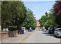
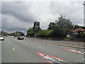
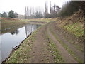
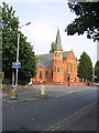
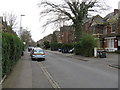

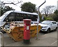

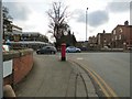

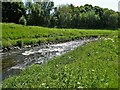
64 photos from this area
Area Information
Key information about the M20 2NA including its size, population, and administrative classification.
- Area Type
- Postcode
- Area Size
- 3445 m²
- Population
- 1838
- Population Density
- 5037 people/km²
House Prices in M20 2NA
22
Properties
£320,273
Average Sold Price
£60,000
Lowest Price
£596,000
Highest Price
Showing 22 properties
| Address | Type | Beds | Baths | Last Sale Price | Last Sale Date | |
|---|---|---|---|---|---|---|
| 239 Burton Road, Manchester, M20 2NA | Terraced | 3 | 2 | £596,000 | Dec 2024 | |
| 237 Burton Road, Manchester, M20 2NA | house | - | - | £478,000 | Dec 2019 | |
| 231 Burton Road, Manchester, M20 2NA | Terraced | 4 | 3 | £500,000 | Jan 2019 | |
| 241 Burton Road, Manchester, M20 2NA | house | - | - | £430,000 | Feb 2016 | |
| 215 Burton Road, Manchester, M20 2NA | house | - | - | £391,000 | Oct 2015 | |
| 233 Burton Road, Manchester, M20 2NA | Terraced | 4 | 2 | £370,000 | Aug 2013 | |
| 221 Burton Road, Manchester, M20 2NA | Terraced | - | - | £125,000 | Aug 2007 | |
| 219 Burton Road, Manchester, M20 2NA | Terraced | - | - | £325,000 | Apr 2005 | |
| 225 Burton Road, Manchester, M20 2NA | Terraced | 5 | 2 | £185,000 | Jun 2002 | |
| 223 Burton Road, Manchester, M20 2NA | house | 1 | 1 | £60,000 | May 1998 |
Page 1 of 3
Energy Efficiency in M20 2NA
Amenities
Schools
| Rank | School | Type | Entry gender | Ages |
|---|
Explore more schools in this area
Go to Schools tabDemographics
Household Size
One person
most common
Accommodation Type
Flats
most common
Tenure
36
majority
Ethnic Group
White
most common
Religion
N/A
most common
Household Composition
N/A
most common
Age
47
median
Adults (30-64 years)
most common
Household Deprivation
N/A
with no deprivation
NS-SEC
61
in Lower managerial occupations
Explore more demographic insights in this area
Go to Demographics tabPlanning
Planning Constraints
- Flood RiskPremium
- Ramsar Wetland SitesPremium
- Area of Outstanding Natural BeautyPremium
- Protected Nature ReservePremium
- Protected WoodlandPremium