Area Overview for M19 2RA
Photos of M19 2RA
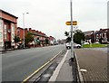
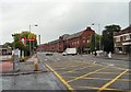
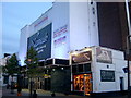

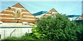
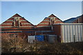
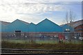
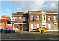
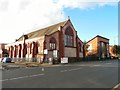
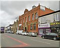

69 photos from this area
Area Information
Key information about the M19 2RA including its size, population, and administrative classification.
- Area Type
- Postcode
- Area Size
- 6853 m²
- Population
- 2045
- Population Density
- 5882 people/km²
House Prices in M19 2RA
26
Properties
£127,280
Average Sold Price
£25,800
Lowest Price
£205,000
Highest Price
Showing 26 properties
| Address | Type | Beds | Baths | Last Sale Price | Last Sale Date | |
|---|---|---|---|---|---|---|
| 1196 Stockport Road, Manchester, M19 2RA | house | - | - | £205,000 | Sep 2022 | |
| 1180 Stockport Road, Manchester, M19 2RA | house | - | - | £138,000 | Mar 2022 | |
| 1202 Stockport Road, Manchester, M19 2RA | Semi-detached | 6 | 2 | £120,000 | Sep 2021 | |
| 1176 Stockport Road, Manchester, M19 2RA | house | - | - | £153,000 | May 2021 | |
| 1182 Stockport Road, Manchester, M19 2RA | Terraced | 4 | 2 | £181,500 | Mar 2021 | |
| 1186 Stockport Road, Manchester, M19 2RA | Terraced | 5 | 2 | £112,000 | Dec 2016 | |
| 1192 Stockport Road, Manchester, M19 2RA | Terraced | 4 | 1 | £165,000 | Oct 2015 | |
| 1174 Stockport Road, Manchester, M19 2RA | Semi-detached | 4 | 2 | £115,000 | Feb 2006 | |
| 1200 Stockport Road, Manchester, M19 2RA | Semi-detached | - | - | £57,500 | Mar 2002 | |
| 1204 Stockport Road, Manchester, M19 2RA | Semi-detached | - | - | £25,800 | Jul 1995 |
Page 1 of 3
Energy Efficiency in M19 2RA
Amenities
Schools
| Rank | School | Type | Entry gender | Ages |
|---|
Explore more schools in this area
Go to Schools tabDemographics
Household Size
Family (3-5 people)
most common
Accommodation Type
Houses
most common
Tenure
56
majority
Ethnic Group
White
most common
Religion
N/A
most common
Household Composition
N/A
most common
Age
47
median
Adults (30-64 years)
most common
Household Deprivation
N/A
with no deprivation
NS-SEC
24
in Lower managerial occupations
Explore more demographic insights in this area
Go to Demographics tabPlanning
Planning Constraints
- Flood RiskPremium
- Ramsar Wetland SitesPremium
- Area of Outstanding Natural BeautyPremium
- Protected Nature ReservePremium
- Protected WoodlandPremium