Area Overview for M19 1NB
Photos of M19 1NB
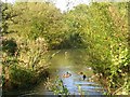
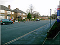
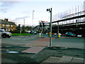

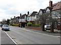
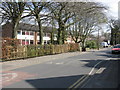
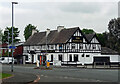
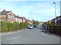
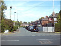
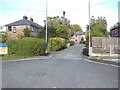
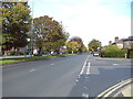
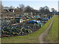
34 photos from this area
Area Information
Key information about the M19 1NB including its size, population, and administrative classification.
- Area Type
- Postcode
- Area Size
- 9622 m²
- Population
- 1861
- Population Density
- 7793 people/km²
House Prices in M19 1NB
29
Properties
£166,273
Average Sold Price
£41,000
Lowest Price
£280,000
Highest Price
Showing 29 properties
| Address | Type | Beds | Baths | Last Sale Price | Last Sale Date | |
|---|---|---|---|---|---|---|
| 51 Lane End Road, Manchester, M19 1NB | Semi-detached | 3 | 2 | £278,000 | Aug 2025 | |
| 69 Lane End Road, Manchester, M19 1NB | Semi-detached | 3 | 1 | £280,000 | Jul 2023 | |
| 49 Lane End Road, Manchester, M19 1NB | Semi-detached | 3 | 1 | £215,000 | Mar 2020 | |
| 43 Lane End Road, Manchester, M19 1NB | Semi-detached | 3 | 1 | £200,000 | Aug 2019 | |
| 33 Lane End Road, Manchester, M19 1NB | house | - | - | £228,000 | Apr 2019 | |
| 29 Lane End Road, Manchester, M19 1NB | house | 3 | 1 | £128,000 | Sep 2015 | |
| 67 Lane End Road, Manchester, M19 1NB | Semi-detached | 2 | 1 | £160,000 | Jul 2014 | |
| 65 Lane End Road, Manchester, M19 1NB | house | - | - | £125,000 | Mar 2006 | |
| 57 Lane End Road, Manchester, M19 1NB | Semi-detached | - | - | £130,000 | Mar 2005 | |
| 63 Lane End Road, Manchester, M19 1NB | Semi-detached | - | - | £44,000 | Dec 2000 |
Page 1 of 3
Energy Efficiency in M19 1NB
Amenities
Schools
| Rank | School | Type | Entry gender | Ages |
|---|
Explore more schools in this area
Go to Schools tabDemographics
Household Size
Family (3-5 people)
most common
Accommodation Type
Houses
most common
Tenure
36
majority
Ethnic Group
White
most common
Religion
N/A
most common
Household Composition
N/A
most common
Age
47
median
Adults (30-64 years)
most common
Household Deprivation
N/A
with no deprivation
NS-SEC
22
in Lower managerial occupations
Explore more demographic insights in this area
Go to Demographics tabPlanning
Planning Constraints
- Flood RiskPremium
- Ramsar Wetland SitesPremium
- Area of Outstanding Natural BeautyPremium
- Protected Nature ReservePremium
- Protected WoodlandPremium