Area Overview for M19 1FN
Photos of M19 1FN
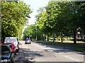
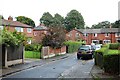
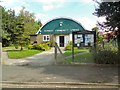
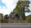
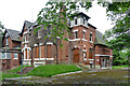
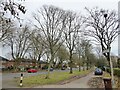
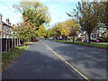
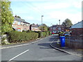
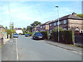
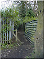
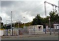
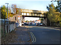
34 photos from this area
Area Information
Key information about the M19 1FN including its size, population, and administrative classification.
- Area Type
- Postcode
- Area Size
- 6159 m²
- Population
- 1901
- Population Density
- 8506 people/km²
House Prices in M19 1FN
20
Properties
£132,533
Average Sold Price
£27,500
Lowest Price
£290,000
Highest Price
Showing 20 properties
| Address | Type | Beds | Baths | Last Sale Price | Last Sale Date | |
|---|---|---|---|---|---|---|
| 239 Burnage Lane, Manchester, M19 1FN | house | - | - | £130,000 | Apr 2024 | |
| 227A Burnage Lane, Manchester, M19 1FN | Retail | 2 | 2 | £230,000 | Mar 2023 | |
| 257 Burnage Lane, Manchester, M19 1FN | Semi-detached | 3 | 1 | £290,000 | Nov 2020 | |
| 211A Burnage Lane, Manchester, M19 1FN | Flat | 1 | 1 | £211,000 | Sep 2020 | |
| 235 Burnage Lane, Manchester, M19 1FN | Terraced | 3 | 1 | £105,000 | Mar 2020 | |
| 245 Burnage Lane, Manchester, M19 1FN | house | - | - | £163,000 | Jun 2018 | |
| 223A Burnage Lane, Manchester, M19 1FN | Flat | - | - | £173,000 | May 2018 | |
| 249 Burnage Lane, Manchester, M19 1FN | Semi-detached | 3 | 1 | £185,000 | Jun 2017 | |
| 229A Burnage Lane, Manchester, M19 1FN | Flat | - | - | £135,000 | Sep 2008 | |
| 243 Burnage Lane, Manchester, M19 1FN | Terraced | 3 | 1 | £60,000 | May 2003 |
Page 1 of 2
Energy Efficiency in M19 1FN
Amenities
Schools
| Rank | School | Type | Entry gender | Ages |
|---|
Explore more schools in this area
Go to Schools tabDemographics
Household Size
Family (3-5 people)
most common
Accommodation Type
Houses
most common
Tenure
58
majority
Ethnic Group
White
most common
Religion
N/A
most common
Household Composition
N/A
most common
Age
47
median
Adults (30-64 years)
most common
Household Deprivation
N/A
with no deprivation
NS-SEC
26
in Lower managerial occupations
Explore more demographic insights in this area
Go to Demographics tabPlanning
Planning Constraints
- Flood RiskPremium
- Ramsar Wetland SitesPremium
- Area of Outstanding Natural BeautyPremium
- Protected Nature ReservePremium
- Protected WoodlandPremium