Area Overview for M16 9WB
Photos of M16 9WB
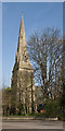
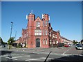
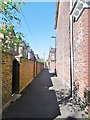
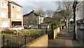
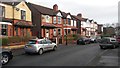
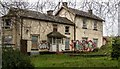
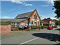
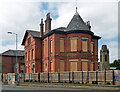
41 photos from this area
Area Information
Key information about the M16 9WB including its size, population, and administrative classification.
- Area Type
- Postcode
- Area Size
- 4644 m²
- Population
- 2049
- Population Density
- 10535 people/km²
House Prices in M16 9WB
33
Properties
£186,318
Average Sold Price
£12,500
Lowest Price
£330,000
Highest Price
Showing 33 properties
| Address | Type | Beds | Baths | Last Sale Price | Last Sale Date | |
|---|---|---|---|---|---|---|
| 45 Premier Street, Old Trafford, M16 9WB | house | 3 | 1 | £325,000 | Dec 2025 | |
| 51 Premier Street, Old Trafford, M16 9WB | house | 3 | 1 | £325,000 | Aug 2025 | |
| 65 Premier Street, Old Trafford, M16 9WB | house | 3 | 1 | £330,000 | Nov 2024 | |
| 1 Premier Street, Old Trafford, M16 9WB | Terraced | 3 | 1 | £250,000 | Jun 2024 | |
| 3 Premier Street, Old Trafford, M16 9WB | Terraced | 5 | - | £329,000 | Jul 2022 | |
| 61 Premier Street, Old Trafford, M16 9WB | house | - | - | £258,000 | Mar 2022 | |
| 59 Premier Street, Old Trafford, M16 9WB | Terraced | 3 | 1 | £204,500 | Dec 2020 | |
| 27 Premier Street, Old Trafford, M16 9WB | house | - | - | £240,000 | Sep 2020 | |
| 31 Premier Street, Old Trafford, M16 9WB | Terraced | 3 | 1 | £175,000 | Jul 2020 | |
| 53 Premier Street, Old Trafford, M16 9WB | house | - | - | £191,000 | Jul 2019 |
Page 1 of 4
Energy Efficiency in M16 9WB
Amenities
Schools
| Rank | School | Type | Entry gender | Ages |
|---|
Explore more schools in this area
Go to Schools tabDemographics
Household Size
Family (3-5 people)
most common
Accommodation Type
Houses
most common
Tenure
36
majority
Ethnic Group
asian_total
most common
Religion
N/A
most common
Household Composition
N/A
most common
Age
47
median
Adults (30-64 years)
most common
Household Deprivation
N/A
with no deprivation
NS-SEC
21
in Lower managerial occupations
Explore more demographic insights in this area
Go to Demographics tabPlanning
Planning Constraints
- Flood RiskPremium
- Ramsar Wetland SitesPremium
- Area of Outstanding Natural BeautyPremium
- Protected Nature ReservePremium
- Protected WoodlandPremium