Area Overview for M16 7RN
Photos of M16 7RN
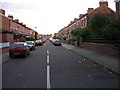
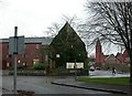
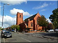
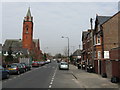
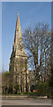
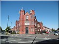
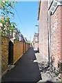
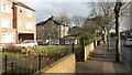
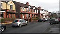
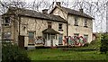
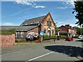
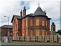
41 photos from this area
Area Information
Key information about the M16 7RN including its size, population, and administrative classification.
- Area Type
- Postcode
- Area Size
- 1.5 hectares
- Population
- 1147
- Population Density
- 6021 people/km²
House Prices in M16 7RN
55
Properties
£111,700
Average Sold Price
£45,100
Lowest Price
£220,000
Highest Price
Showing 55 properties
| Address | Type | Beds | Baths | Last Sale Price | Last Sale Date | |
|---|---|---|---|---|---|---|
| 217 STAMFORD STREET, Old Trafford, M16 7RN | Flat | 2 | 3 | £220,000 | Jun 2006 | |
| 4 Upper Chorlton Road, Old Trafford, M16 7RN | Terraced | - | - | £70,000 | Nov 2001 | |
| 16 Upper Chorlton Road, Old Trafford, M16 7RN | house | - | - | £45,100 | Aug 1996 | |
| Flat 2, 18 Upper Chorlton Road, Old Trafford, M16 7RN | Unknown | - | - | - | - | |
| 18 Upper Chorlton Road, Old Trafford, M16 7RN | retail_financial | - | - | - | - | |
| Flat A, 14 Upper Chorlton Road, Old Trafford, M16 7RN | Flat | - | - | - | - | |
| 30 Upper Chorlton Road, Old Trafford, M16 7RN | Terraced | - | - | - | - | |
| 12 Upper Chorlton Road, Old Trafford, M16 7RN | house | - | - | - | - | |
| Flat C, 14 Upper Chorlton Road, Old Trafford, M16 7RN | Flat | - | - | - | - | |
| 24 Upper Chorlton Road, Old Trafford, M16 7RN | house | - | - | - | - |
Page 1 of 6
Energy Efficiency in M16 7RN
Amenities
Schools
| Rank | School | Type | Entry gender | Ages |
|---|
Explore more schools in this area
Go to Schools tabDemographics
Household Size
One person
most common
Accommodation Type
Flats
most common
Tenure
15
majority
Ethnic Group
White
most common
Religion
N/A
most common
Household Composition
N/A
most common
Age
47
median
Adults (30-64 years)
most common
Household Deprivation
N/A
with no deprivation
NS-SEC
14
in Lower managerial occupations
Explore more demographic insights in this area
Go to Demographics tabPlanning
Planning Constraints
- Flood RiskPremium
- Ramsar Wetland SitesPremium
- Area of Outstanding Natural BeautyPremium
- Protected Nature ReservePremium
- Protected WoodlandPremium