Area Overview for M13 0GP
Photos of M13 0GP
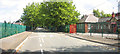
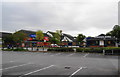
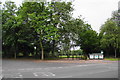
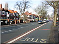
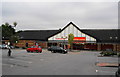
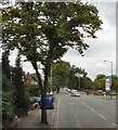
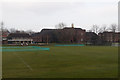
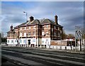
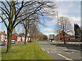
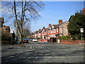
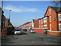
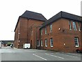
46 photos from this area
Area Information
Key information about the M13 0GP including its size, population, and administrative classification.
- Area Type
- Postcode
- Area Size
- 2971 m²
- Population
- 2313
- Population Density
- 11525 people/km²
House Prices in M13 0GP
26
Properties
£100,217
Average Sold Price
£15,000
Lowest Price
£165,000
Highest Price
Showing 26 properties
| Address | Type | Beds | Baths | Last Sale Price | Last Sale Date | |
|---|---|---|---|---|---|---|
| 2 Meller Road, Manchester, M13 0GP | Terraced | 3 | 1 | £165,000 | Jun 2023 | |
| 12 Meller Road, Manchester, M13 0GP | Terraced | 3 | 1 | £130,000 | Nov 2020 | |
| 17 Meller Road, Manchester, M13 0GP | Terraced | 4 | 1 | £140,000 | Oct 2020 | |
| 13 Meller Road, Manchester, M13 0GP | Terraced | 3 | 1 | £150,000 | Sep 2020 | |
| 24 Meller Road, Manchester, M13 0GP | Terraced | 3 | 1 | £165,000 | Jun 2019 | |
| 4 Meller Road, Manchester, M13 0GP | house | - | - | £120,000 | Dec 2017 | |
| 14 Meller Road, Manchester, M13 0GP | Terraced | 3 | 1 | £130,000 | Dec 2017 | |
| 9 Meller Road, Manchester, M13 0GP | house | 3 | - | £115,000 | Sep 2010 | |
| 28 Meller Road, Manchester, M13 0GP | Terraced | 3 | 2 | £110,000 | Jun 2008 | |
| 5 Meller Road, Manchester, M13 0GP | Terraced | 3 | 1 | £120,000 | May 2008 |
Page 1 of 3
Energy Efficiency in M13 0GP
Amenities
Schools
| Rank | School | Type | Entry gender | Ages |
|---|
Explore more schools in this area
Go to Schools tabDemographics
Household Size
Family (3-5 people)
most common
Accommodation Type
Houses
most common
Tenure
34
majority
Ethnic Group
asian_total
most common
Religion
N/A
most common
Household Composition
N/A
most common
Age
22
median
Adults (30-64 years)
most common
Household Deprivation
N/A
with no deprivation
NS-SEC
10
in Lower managerial occupations
Explore more demographic insights in this area
Go to Demographics tabPlanning
Planning Constraints
- Flood RiskPremium
- Ramsar Wetland SitesPremium
- Area of Outstanding Natural BeautyPremium
- Protected Nature ReservePremium
- Protected WoodlandPremium