Area Overview for Colne
Photos of Colne
Area Information
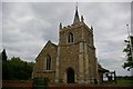
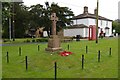
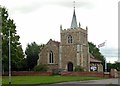
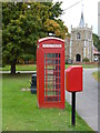
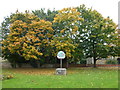
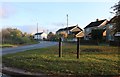
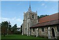
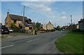
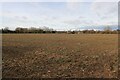
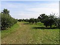
Colne is a small civil parish covering just seven square kilometres in the Pendle district of Lancashire. The settlement stands on the River Henburn and occupies rising ground within the Colne Valley, positioned near the border of high moorland tracts that divide Lancashire from Yorkshire. Although the town is only six miles north-east of Burnley and less than two and a quarter miles south-west of the Yorkshire boundary, it retains a distinct character shaped by its ancient origins. The area lies close to the Leeds and Liverpool canal, adding historical depth to a location that has evolved from a medieval holding into a modern community. Living in Colne offers a setting defined by its proximity to these geographical transitions while maintaining a connection to its industrial past. The parish serves as a gateway between larger urban centres and the open moorland, providing a specific sense of place for residents who value a town on the edge of the countryside rather than deep within an urban sprawl. Your daily life here will reflect this blend of local heritage and regional accessibility.
- Area Type
- Parish
- Area Size
- 7.0 km²
- Population
- Not available
- Population Density
- Not available
Demographics
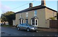
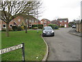
The community in Colne reflects a settled population with a median age of seventy years. This demographic profile indicates that the area is dominated by older residents, suggesting a quiet, established neighbourhood rather than a hub for young families or students. With home ownership standing at eighty-six per cent, Clear the majority of houses homes near Colne are owner-occupied. This high level of ownership typically points to a stable community where residents have strong local ties and a long-term commitment to the parish. The parish lacks specific data on household composition types, predominant ethnic groups, or religious breakdowns in the available records, which means the public profile of diversity is limited in official statistics. Despite the absence of detailed breakdowns on accommodation types, the overwhelming majority of residents are prepared to maintain their own properties rather than rent. The age structure and ownership figures create a distinct social environment where fewer young people do not lead to an empty town but rather define a comprehensive, older generation living through the same streets. You can expect a neighbourhood where neighbours have likely lived together for decades.
Household Size
Accommodation Type
Tenure
Ethnic Group
Religion
Household Composition
Age
Household Deprivation
NS-SEC
Explore more demographic insights in this area
Go to Demographics tabPlanning
Planning Constraints
- Flood RiskPremium
- Ramsar Wetland SitesPremium
- Area of Outstanding Natural BeautyPremium
- Protected Nature ReservePremium
- Protected WoodlandPremium