Area Overview for LA11 7AB
Photos of LA11 7AB
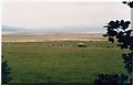
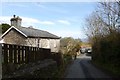

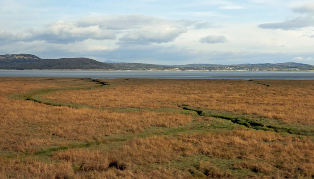
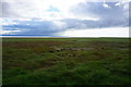
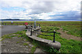
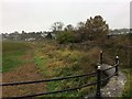
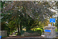
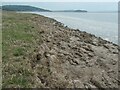
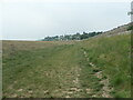
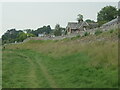
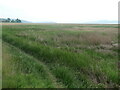
42 photos from this area
Area Information
Key information about the LA11 7AB including its size, population, and administrative classification.
- Area Type
- Postcode
- Area Size
- 1.2 hectares
- Population
- 1425
- Population Density
- 425 people/km²
House Prices in LA11 7AB
21
Properties
£253,023
Average Sold Price
£43,000
Lowest Price
£360,000
Highest Price
Showing 21 properties
| Address | Type | Beds | Baths | Last Sale Price | Last Sale Date | |
|---|---|---|---|---|---|---|
| 2, Yew Tree Court, Cart Lane, Grange Over Sands, LA11 7AB | Flat | 2 | 1 | £154,500 | Mar 2025 | |
| 2, Carter Fold, Cart Lane, Grange Over Sands, LA11 7AB | Bungalow | - | - | £315,000 | Feb 2025 | |
| 2, Sedgwick Court, Cart Lane, Grange Over Sands, LA11 7AB | Semi-detached | 3 | 2 | £354,000 | Apr 2024 | |
| Orchard End, 4 Cart Lane, Grange Over Sands, LA11 7AB | Bungalow | - | - | £335,000 | Nov 2023 | |
| Gowan Lea, 14 Cart Lane, Grange Over Sands, LA11 7AB | house | 3 | - | £360,000 | Jul 2021 | |
| Dalveen, 8 Cart Lane, Grange Over Sands, LA11 7AB | Bungalow | 2 | - | £325,000 | Oct 2020 | |
| Hollinside, 6 Cart Lane, Grange Over Sands, LA11 7AB | Bungalow | 2 | - | £226,000 | Sep 2011 | |
| Spring Field Lodge, 2 Cart Lane, Grange Over Sands, LA11 7AB | Bungalow | - | - | £342,500 | Dec 2009 | |
| 3, Sedgwick Court, Cart Lane, Grange Over Sands, LA11 7AB | Semi-detached | - | - | £172,000 | Jun 2006 | |
| 1, Yew Tree Court, Cart Lane, Grange Over Sands, LA11 7AB | Flat | - | - | £156,250 | Nov 2005 |
Page 1 of 3
Energy Efficiency in LA11 7AB
Amenities
Schools
| Rank | School | Type | Entry gender | Ages |
|---|
Explore more schools in this area
Go to Schools tabDemographics
Household Size
Two person
most common
Accommodation Type
Houses
most common
Tenure
89
majority
Ethnic Group
White
most common
Religion
N/A
most common
Household Composition
N/A
most common
Age
70
median
Elderly (65+ years)
most common
Household Deprivation
N/A
with no deprivation
NS-SEC
48
in Lower managerial occupations
Explore more demographic insights in this area
Go to Demographics tabPlanning
Planning Constraints
- Flood RiskPremium
- Ramsar Wetland SitesPremium
- Area of Outstanding Natural BeautyPremium
- Protected Nature ReservePremium
- Protected WoodlandPremium