Area Overview for LA10 5PS
Photos of LA10 5PS
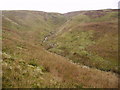
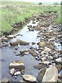
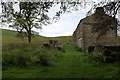
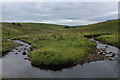
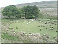
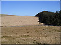
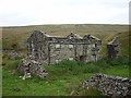
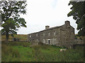
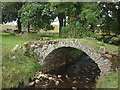
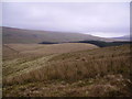
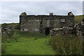
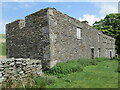
13 photos from this area
Area Information
Key information about the LA10 5PS including its size, population, and administrative classification.
- Area Type
- Postcode
- Area Size
- 10.8 km²
- Population
- 2394
- Population Density
- 10 people/km²
House Prices in LA10 5PS
10
Properties
£278,750
Average Sold Price
£115,000
Lowest Price
£475,000
Highest Price
Showing 10 properties
| Address | Type | Beds | Baths | Last Sale Price | Last Sale Date | |
|---|---|---|---|---|---|---|
| Moorrigg Barn, Grisdale, Sedbergh, LA10 5PS | house | 2 | - | £310,000 | Jun 2021 | |
| Reachey, Garsdale, Sedbergh, LA10 5PS | Detached | - | - | £475,000 | Sep 2016 | |
| Moorrigg Cottage, Grisdale, Sedbergh, LA10 5PS | Cottage | 2 | 1 | £215,000 | Dec 2014 | |
| Aldershaw, Grisdale, Sedbergh, LA10 5PS | house | 3 | - | £115,000 | Mar 1997 | |
| Blake Mire, Grisdale, Sedbergh, LA10 5PS | Farm | 3 | 1 | - | - | |
| Mouse Sike, Grisdale, Sedbergh, LA10 5PS | house | - | - | - | - | |
| Fea Fow, Grisdale, Sedbergh, LA10 5PS | Detached | - | - | - | - | |
| Beck Side, Grisdale, Sedbergh, LA10 5PS | house | - | - | - | - | |
| Moorrigg, Grisdale, Sedbergh, LA10 5PS | Terraced | - | - | - | - | |
| East House, Grisdale, Sedbergh, LA10 5PS | house | 2 | - | - | - |
Energy Efficiency in LA10 5PS
Amenities
Schools
| Rank | School | Type | Entry gender | Ages |
|---|
Explore more schools in this area
Go to Schools tabDemographics
Household Size
Two person
most common
Accommodation Type
Houses
most common
Tenure
80
majority
Ethnic Group
White
most common
Religion
N/A
most common
Household Composition
N/A
most common
Age
47
median
Adults (30-64 years)
most common
Household Deprivation
N/A
with no deprivation
NS-SEC
36
in Lower managerial occupations
Explore more demographic insights in this area
Go to Demographics tabPlanning
Planning Constraints
- Flood RiskPremium
- Ramsar Wetland SitesPremium
- Area of Outstanding Natural BeautyPremium
- Protected Nature ReservePremium
- Protected WoodlandPremium