Area Overview for LA1 5AW
Photos of LA1 5AW

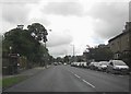

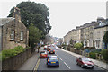
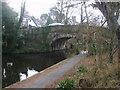

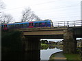
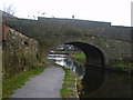

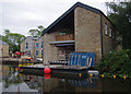
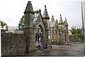
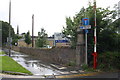
79 photos from this area
Area Information
Key information about the LA1 5AW including its size, population, and administrative classification.
- Area Type
- Postcode
- Area Size
- 4840 m²
- Population
- 1772
- Population Density
- 3626 people/km²
House Prices in LA1 5AW
45
Properties
£82,642
Average Sold Price
£34,750
Lowest Price
£130,000
Highest Price
Showing 45 properties
| Address | Type | Beds | Baths | Last Sale Price | Last Sale Date | |
|---|---|---|---|---|---|---|
| 25, Ashwood Court, Bridge Road, Lancaster, LA1 5AW | Flat | - | - | £105,000 | Jun 2025 | |
| 20, Ashwood Court, Bridge Road, Lancaster, LA1 5AW | Flat | 1 | 1 | £91,000 | Mar 2025 | |
| 29, Ashwood Court, Bridge Road, Lancaster, LA1 5AW | Flat | - | - | £89,000 | Feb 2025 | |
| 33, Ashwood Court, Bridge Road, Lancaster, LA1 5AW | Flat | - | - | £92,500 | Nov 2024 | |
| 24, Ashwood Court, Bridge Road, Lancaster, LA1 5AW | Flat | - | - | £130,000 | May 2024 | |
| 36, Ashwood Court, Bridge Road, Lancaster, LA1 5AW | Flat | 1 | - | £95,000 | Sep 2023 | |
| 40, Ashwood Court, Bridge Road, Lancaster, LA1 5AW | Flat | 1 | 1 | £90,000 | Dec 2022 | |
| 6, Ashwood Court, Bridge Road, Lancaster, LA1 5AW | Flat | - | - | £95,000 | Jul 2022 | |
| 9, Ashwood Court, Bridge Road, Lancaster, LA1 5AW | Flat | 2 | 1 | £117,000 | Jun 2022 | |
| 7, Ashwood Court, Bridge Road, Lancaster, LA1 5AW | Flat | 2 | 1 | £112,000 | Apr 2022 |
Page 1 of 5
Energy Efficiency in LA1 5AW
Amenities
Schools
| Rank | School | Type | Entry gender | Ages |
|---|
Explore more schools in this area
Go to Schools tabDemographics
Household Size
One person
most common
Accommodation Type
Houses
most common
Tenure
51
majority
Ethnic Group
White
most common
Religion
N/A
most common
Household Composition
N/A
most common
Age
47
median
Adults (30-64 years)
most common
Household Deprivation
N/A
with no deprivation
NS-SEC
33
in Lower managerial occupations
Explore more demographic insights in this area
Go to Demographics tabPlanning
Planning Constraints
- Flood RiskPremium
- Ramsar Wetland SitesPremium
- Area of Outstanding Natural BeautyPremium
- Protected Nature ReservePremium
- Protected WoodlandPremium