Area Overview for LA1 5BJ
Photos of LA1 5BJ
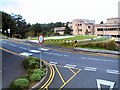
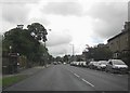

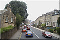
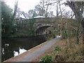

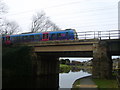
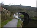

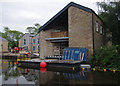
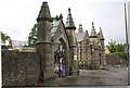
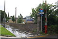
79 photos from this area
Area Information
Key information about the LA1 5BJ including its size, population, and administrative classification.
- Area Type
- Postcode
- Area Size
- 14.0 hectares
- Population
- 1962
- Population Density
- 464 people/km²
House Prices in LA1 5BJ
42
Properties
£503,400
Average Sold Price
£50,000
Lowest Price
£1,100,000
Highest Price
Showing 42 properties
| Address | Type | Beds | Baths | Last Sale Price | Last Sale Date | |
|---|---|---|---|---|---|---|
| The Chandlers, Haverbreaks Road, Lancaster, LA1 5BJ | Detached | 7 | 3 | £1,000,000 | Aug 2024 | |
| Hunters Moon, Haverbreaks Road, Lancaster, LA1 5BJ | Bungalow | - | - | £700,000 | Mar 2024 | |
| Oatlands, Haverbreaks Road, Lancaster, LA1 5BJ | Detached | 7 | 5 | £1,100,000 | Mar 2024 | |
| Aldercliffe, Haverbreaks Road, Lancaster, LA1 5BJ | house | - | - | £800,000 | Jun 2021 | |
| Hluhluwe, Haverbreaks Road, Lancaster, LA1 5BJ | Detached | 4 | - | £610,000 | Feb 2021 | |
| Tanglewood, Haverbreaks Road, Lancaster, LA1 5BJ | house | - | - | £565,000 | Nov 2020 | |
| Windrush, Haverbreaks Road, Lancaster, LA1 5BJ | house | - | - | £401,000 | Oct 2020 | |
| Beau Site, Haverbreaks Road, Lancaster, LA1 5BJ | Detached | 4 | 3 | £550,000 | Mar 2019 | |
| The Spinney, Haverbreaks Road, Lancaster, LA1 5BJ | Detached | 4 | 2 | £315,000 | Nov 2018 | |
| The Water House, Haverbreaks Road, Lancaster, LA1 5BJ | Detached | 7 | 4 | £800,000 | May 2018 |
Page 1 of 5
Energy Efficiency in LA1 5BJ
Amenities
Schools
| Rank | School | Type | Entry gender | Ages |
|---|
Explore more schools in this area
Go to Schools tabDemographics
Household Size
Two person
most common
Accommodation Type
Houses
most common
Tenure
86
majority
Ethnic Group
White
most common
Religion
N/A
most common
Household Composition
N/A
most common
Age
47
median
Adults (30-64 years)
most common
Household Deprivation
N/A
with no deprivation
NS-SEC
51
in Lower managerial occupations
Explore more demographic insights in this area
Go to Demographics tabPlanning
Planning Constraints
- Flood RiskPremium
- Ramsar Wetland SitesPremium
- Area of Outstanding Natural BeautyPremium
- Protected Nature ReservePremium
- Protected WoodlandPremium