Area Overview for L4 2SA
Photos of L4 2SA


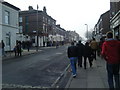
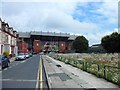

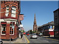
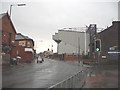
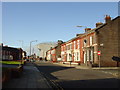
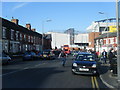
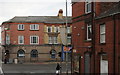
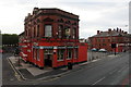

60 photos from this area
Area Information
Key information about the L4 2SA including its size, population, and administrative classification.
- Area Type
- Postcode
- Area Size
- 6563 m²
- Population
- 1667
- Population Density
- 10888 people/km²
House Prices in L4 2SA
58
Properties
£64,441
Average Sold Price
£15,000
Lowest Price
£150,000
Highest Price
Showing 58 properties
| Address | Type | Beds | Baths | Last Sale Price | Last Sale Date | |
|---|---|---|---|---|---|---|
| 44 Oban Road, Liverpool, L4 2SA | Terraced | 3 | 1 | £110,000 | Dec 2024 | |
| 10 Oban Road, Liverpool, L4 2SA | Terraced | 4 | 1 | £150,000 | Sep 2023 | |
| 38 Oban Road, Liverpool, L4 2SA | Terraced | - | - | £80,000 | Feb 2023 | |
| 42 Oban Road, Liverpool, L4 2SA | Retail | 3 | 1 | £90,000 | Apr 2022 | |
| 40 Oban Road, Liverpool, L4 2SA | house | 3 | 1 | £108,000 | Mar 2022 | |
| 33 Oban Road, Liverpool, L4 2SA | house | - | - | £130,000 | Aug 2021 | |
| 48 Oban Road, Liverpool, L4 2SA | Terraced | 6 | 6 | £84,950 | Jan 2019 | |
| 37 Oban Road, Liverpool, L4 2SA | Terraced | 3 | 1 | £65,000 | Aug 2017 | |
| 22 Oban Road, Liverpool, L4 2SA | Terraced | 4 | 1 | £76,500 | Jul 2017 | |
| 20 Oban Road, Liverpool, L4 2SA | Unknown | - | - | £75,000 | Mar 2017 |
Page 1 of 6
Energy Efficiency in L4 2SA
Amenities
Schools
| Rank | School | Type | Entry gender | Ages |
|---|
Explore more schools in this area
Go to Schools tabDemographics
Household Size
One person
most common
Accommodation Type
Houses
most common
Tenure
28
majority
Ethnic Group
White
most common
Religion
N/A
most common
Household Composition
N/A
most common
Age
47
median
Adults (30-64 years)
most common
Household Deprivation
N/A
with no deprivation
NS-SEC
13
in Lower managerial occupations
Explore more demographic insights in this area
Go to Demographics tabPlanning
Planning Constraints
- Flood RiskPremium
- Ramsar Wetland SitesPremium
- Area of Outstanding Natural BeautyPremium
- Protected Nature ReservePremium
- Protected WoodlandPremium