Area Overview for L39 4SX
Photos of L39 4SX
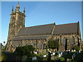
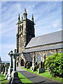
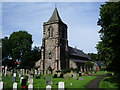
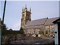
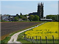
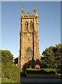
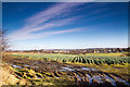
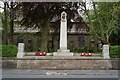
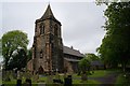
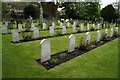
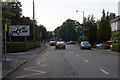
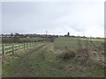
39 photos from this area
Area Information
Key information about the L39 4SX including its size, population, and administrative classification.
- Area Type
- Postcode
- Area Size
- 1.3 hectares
- Population
- 1545
- Population Density
- 3460 people/km²
House Prices in L39 4SX
29
Properties
£152,982
Average Sold Price
£360
Lowest Price
£257,000
Highest Price
Showing 29 properties
| Address | Type | Beds | Baths | Last Sale Price | Last Sale Date | |
|---|---|---|---|---|---|---|
| 105 Holborn Hill, Ormskirk, L39 4SX | Retail | 2 | 1 | £230,000 | Sep 2022 | |
| 99 Holborn Hill, Ormskirk, L39 4SX | house | - | - | £176,000 | Apr 2022 | |
| 87 Holborn Hill, Ormskirk, L39 4SX | house | - | - | £250,000 | Jan 2022 | |
| 117 Holborn Hill, Ormskirk, L39 4SX | Semi-detached | 3 | 1 | £240,000 | Oct 2020 | |
| 63 Holborn Hill, Ormskirk, L39 4SX | Semi-detached | 3 | 1 | £235,000 | Feb 2020 | |
| 83 Holborn Hill, Ormskirk, L39 4SX | house | - | - | £360 | Dec 2019 | |
| 79 Holborn Hill, Ormskirk, L39 4SX | house | - | - | £210,000 | Aug 2018 | |
| 107 Holborn Hill, Ormskirk, L39 4SX | Semi-detached | 3 | - | £189,500 | Mar 2018 | |
| 115 Holborn Hill, Ormskirk, L39 4SX | Semi-detached | - | - | £180,000 | Mar 2016 | |
| 69 Holborn Hill, Ormskirk, L39 4SX | house | - | - | £257,000 | Jan 2016 |
Page 1 of 3
Energy Efficiency in L39 4SX
Amenities
Schools
| Rank | School | Type | Entry gender | Ages |
|---|
Explore more schools in this area
Go to Schools tabDemographics
Household Size
Two person
most common
Accommodation Type
Houses
most common
Tenure
93
majority
Ethnic Group
White
most common
Religion
N/A
most common
Household Composition
N/A
most common
Age
47
median
Adults (30-64 years)
most common
Household Deprivation
N/A
with no deprivation
NS-SEC
46
in Lower managerial occupations
Explore more demographic insights in this area
Go to Demographics tabPlanning
Planning Constraints
- Flood RiskPremium
- Ramsar Wetland SitesPremium
- Area of Outstanding Natural BeautyPremium
- Protected Nature ReservePremium
- Protected WoodlandPremium