Area Overview for L37 3JB
Photos of L37 3JB
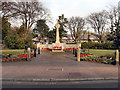
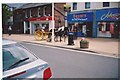
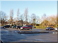
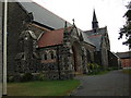
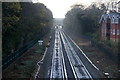
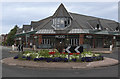
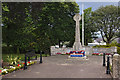
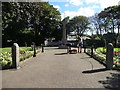
48 photos from this area
Area Information
Key information about the L37 3JB including its size, population, and administrative classification.
- Area Type
- Postcode
- Area Size
- 1.7 hectares
- Population
- 1529
- Population Density
- 2428 people/km²
House Prices in L37 3JB
18
Properties
£409,937
Average Sold Price
£125,000
Lowest Price
£860,000
Highest Price
Showing 18 properties
| Address | Type | Beds | Baths | Last Sale Price | Last Sale Date | |
|---|---|---|---|---|---|---|
| 4A Freshfield Road, Formby, L37 3JB | house | - | - | £860,000 | Dec 2023 | |
| Gladstone House, 2B Freshfield Road, Formby, L37 3JB | Detached | 5 | 5 | £635,000 | Jan 2018 | |
| 4B Freshfield Road, Formby, L37 3JB | Bungalow | - | - | £462,500 | Nov 2017 | |
| The Bungalow, 2C Freshfield Road, Formby, L37 3JB | Bungalow | - | - | £249,999 | Aug 2013 | |
| 4 Freshfield Road, Formby, L37 3JB | Detached | 4 | - | £845,000 | Dec 2012 | |
| 16 Freshfield Road, Formby, L37 3JB | Bungalow | - | - | £300,000 | Oct 2008 | |
| 6A Freshfield Road, Formby, L37 3JB | Detached | - | - | £243,000 | Jul 2001 | |
| 10 Freshfield Road, Formby, L37 3JB | Detached | - | - | £125,000 | Jul 1997 | |
| 8 Freshfield Road, Formby, L37 3JB | Detached | - | - | £225,000 | Oct 1996 | |
| 14A Freshfield Road, Formby, L37 3JB | Detached | - | - | £153,875 | May 1995 |
Page 1 of 2
Energy Efficiency in L37 3JB
Amenities
Schools
| Rank | School | Type | Entry gender | Ages |
|---|
Explore more schools in this area
Go to Schools tabDemographics
Household Size
Two person
most common
Accommodation Type
Houses
most common
Tenure
85
majority
Ethnic Group
White
most common
Religion
N/A
most common
Household Composition
N/A
most common
Age
47
median
Adults (30-64 years)
most common
Household Deprivation
N/A
with no deprivation
NS-SEC
51
in Lower managerial occupations
Explore more demographic insights in this area
Go to Demographics tabPlanning
Planning Constraints
- Flood RiskPremium
- Ramsar Wetland SitesPremium
- Area of Outstanding Natural BeautyPremium
- Protected Nature ReservePremium
- Protected WoodlandPremium