Area Overview for L37 2JD
Photos of L37 2JD
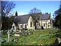
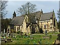
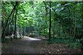
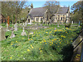
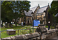
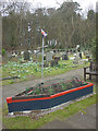
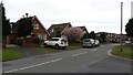
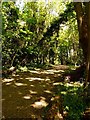
41 photos from this area
Area Information
Key information about the L37 2JD including its size, population, and administrative classification.
- Area Type
- Postcode
- Area Size
- 1.4 hectares
- Population
- 1276
- Population Density
- 3849 people/km²
House Prices in L37 2JD
27
Properties
£196,782
Average Sold Price
£51,000
Lowest Price
£352,000
Highest Price
Showing 27 properties
| Address | Type | Beds | Baths | Last Sale Price | Last Sale Date | |
|---|---|---|---|---|---|---|
| 17 Ward Avenue, Formby, L37 2JD | Semi-detached | 3 | 2 | £352,000 | Mar 2025 | |
| 3 Ward Avenue, Formby, L37 2JD | Semi-detached | 2 | - | £200,000 | Aug 2023 | |
| 6 Ward Avenue, Formby, L37 2JD | Semi-detached | 3 | 2 | £280,000 | May 2023 | |
| 22 Ward Avenue, Formby, L37 2JD | Semi-detached | 3 | 1 | £350,000 | Jun 2022 | |
| 11 Ward Avenue, Formby, L37 2JD | house | - | - | £223,000 | Jan 2022 | |
| 13 Ward Avenue, Formby, L37 2JD | Semi-detached | 2 | 1 | £220,000 | Aug 2019 | |
| 2 Ward Avenue, Formby, L37 2JD | Semi-detached | 3 | 1 | £220,000 | Nov 2016 | |
| 23 Ward Avenue, Formby, L37 2JD | house | - | - | £185,000 | Jul 2010 | |
| 19 Ward Avenue, Formby, L37 2JD | Semi-detached | - | - | £168,000 | May 2010 | |
| 26 Ward Avenue, Formby, L37 2JD | Semi-detached | - | - | £229,000 | Jul 2007 |
Page 1 of 3
Energy Efficiency in L37 2JD
Amenities
Schools
| Rank | School | Type | Entry gender | Ages |
|---|
Explore more schools in this area
Go to Schools tabDemographics
Household Size
Family (3-5 people)
most common
Accommodation Type
Houses
most common
Tenure
77
majority
Ethnic Group
White
most common
Religion
N/A
most common
Household Composition
N/A
most common
Age
47
median
Adults (30-64 years)
most common
Household Deprivation
N/A
with no deprivation
NS-SEC
42
in Lower managerial occupations
Explore more demographic insights in this area
Go to Demographics tabPlanning
Planning Constraints
- Flood RiskPremium
- Ramsar Wetland SitesPremium
- Area of Outstanding Natural BeautyPremium
- Protected Nature ReservePremium
- Protected WoodlandPremium