Area Overview for L37 2HG
Photos of L37 2HG
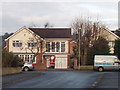
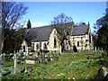
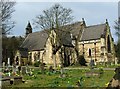
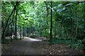
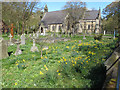
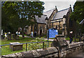
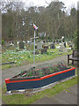
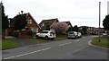
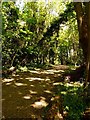
41 photos from this area
Area Information
Key information about the L37 2HG including its size, population, and administrative classification.
- Area Type
- Postcode
- Area Size
- 6223 m²
- Population
- 1276
- Population Density
- 3849 people/km²
House Prices in L37 2HG
16
Properties
£277,333
Average Sold Price
£98,000
Lowest Price
£470,000
Highest Price
Showing 16 properties
| Address | Type | Beds | Baths | Last Sale Price | Last Sale Date | |
|---|---|---|---|---|---|---|
| 63 Queens Road, Formby, L37 2HG | Semi-detached | 3 | 1 | £345,000 | Nov 2024 | |
| 55 Queens Road, Formby, L37 2HG | Semi-detached | 4 | 2 | £470,000 | Oct 2022 | |
| 41 Queens Road, Formby, L37 2HG | Semi-detached | 4 | 2 | £350,000 | Nov 2018 | |
| 67 Queens Road, Formby, L37 2HG | Semi-detached | 3 | 1 | £300,000 | Oct 2018 | |
| 47 Queens Road, Formby, L37 2HG | Bungalow | 4 | - | £270,000 | Aug 2017 | |
| 45 Queens Road, Formby, L37 2HG | Bungalow | - | - | £155,000 | Sep 2012 | |
| 57 Queens Road, Formby, L37 2HG | house | - | - | £275,000 | Nov 2007 | |
| 43 Queens Road, Formby, L37 2HG | house | - | - | £233,000 | Jul 2007 | |
| 53 Queens Road, Formby, L37 2HG | Semi-detached | - | - | £98,000 | Feb 2001 | |
| 39A Queens Road, Formby, L37 2HG | Flat | - | - | - | - |
Page 1 of 2
Energy Efficiency in L37 2HG
Amenities
Schools
| Rank | School | Type | Entry gender | Ages |
|---|
Explore more schools in this area
Go to Schools tabDemographics
Household Size
Family (3-5 people)
most common
Accommodation Type
Houses
most common
Tenure
77
majority
Ethnic Group
White
most common
Religion
N/A
most common
Household Composition
N/A
most common
Age
47
median
Adults (30-64 years)
most common
Household Deprivation
N/A
with no deprivation
NS-SEC
42
in Lower managerial occupations
Explore more demographic insights in this area
Go to Demographics tabPlanning
Planning Constraints
- Flood RiskPremium
- Ramsar Wetland SitesPremium
- Area of Outstanding Natural BeautyPremium
- Protected Nature ReservePremium
- Protected WoodlandPremium