Area Overview for L36 8BL
Photos of L36 8BL
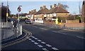
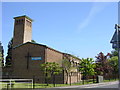
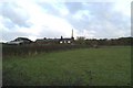
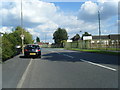
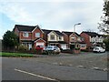
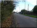
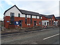
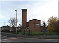


23 photos from this area
Area Information
Key information about the L36 8BL including its size, population, and administrative classification.
- Area Type
- Postcode
- Area Size
- 1.8 hectares
- Population
- 1385
- Population Density
- 5996 people/km²
House Prices in L36 8BL
54
Properties
£174,833
Average Sold Price
£157,500
Lowest Price
£195,000
Highest Price
Showing 54 properties
| Address | Type | Beds | Baths | Last Sale Price | Last Sale Date | |
|---|---|---|---|---|---|---|
| 124 Hillside Road, Huyton, L36 8BL | Semi-detached | 3 | 1 | £195,000 | Sep 2024 | |
| 126 Hillside Road, Huyton, L36 8BL | house | 3 | 1 | £172,000 | Sep 2022 | |
| 128 Hillside Road, Huyton, L36 8BL | Terraced | 3 | 2 | £157,500 | Mar 2020 | |
| PLOT 520, HILLSIDE AVENUE, Huyton, L36 8BL | Semi-detached | - | - | - | - | |
| PLOT 521, HILLSIDE AVENUE, Huyton, L36 8BL | Semi-detached | - | - | - | - | |
| PLOT 522, HILLSIDE AVENUE, Huyton, L36 8BL | Semi-detached | - | - | - | - | |
| PLOT 523, HILLSIDE AVENUE, Huyton, L36 8BL | Semi-detached | - | - | - | - | |
| PLOT 558, HILLSIDE AVENUE, Huyton, L36 8BL | Semi-detached | - | - | - | - | |
| PLOT 596, HILLSIDE AVENUE, Huyton, L36 8BL | Semi-detached | - | - | - | - | |
| PLOT 597, HILLSIDE AVENUE, Huyton, L36 8BL | Semi-detached | - | - | - | - |
Page 1 of 6
Energy Efficiency in L36 8BL
Amenities
Schools
| Rank | School | Type | Entry gender | Ages |
|---|
Explore more schools in this area
Go to Schools tabDemographics
Household Size
Family (3-5 people)
most common
Accommodation Type
Houses
most common
Tenure
35
majority
Ethnic Group
White
most common
Religion
N/A
most common
Household Composition
N/A
most common
Age
47
median
Adults (30-64 years)
most common
Household Deprivation
N/A
with no deprivation
NS-SEC
13
in Lower managerial occupations
Explore more demographic insights in this area
Go to Demographics tabPlanning
Planning Constraints
- Flood RiskPremium
- Ramsar Wetland SitesPremium
- Area of Outstanding Natural BeautyPremium
- Protected Nature ReservePremium
- Protected WoodlandPremium