Area Overview for L36 5UW
Photos of L36 5UW
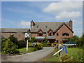
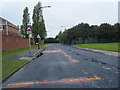
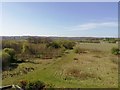
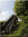
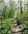
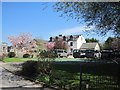
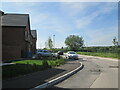
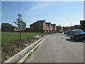
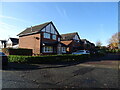
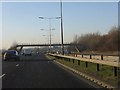
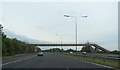

19 photos from this area
Area Information
Key information about the L36 5UW including its size, population, and administrative classification.
- Area Type
- Postcode
- Area Size
- 9256 m²
- Population
- 1465
- Population Density
- 1828 people/km²
House Prices in L36 5UW
24
Properties
£129,037
Average Sold Price
£54,000
Lowest Price
£230,000
Highest Price
Showing 24 properties
| Address | Type | Beds | Baths | Last Sale Price | Last Sale Date | |
|---|---|---|---|---|---|---|
| 10 Cypress Road, Huyton, L36 5UW | Semi-detached | 3 | 1 | £230,000 | Nov 2022 | |
| 16 Cypress Road, Huyton, L36 5UW | Semi-detached | 3 | 1 | £160,550 | Apr 2019 | |
| 4 Cypress Road, Huyton, L36 5UW | Semi-detached | 3 | 1 | £165,000 | Feb 2019 | |
| 48 Cypress Road, Huyton, L36 5UW | Bungalow | 3 | 2 | £185,000 | May 2018 | |
| 36 Cypress Road, Huyton, L36 5UW | Detached | 4 | 3 | £199,950 | Feb 2017 | |
| 24 Cypress Road, Huyton, L36 5UW | Semi-detached | 3 | 1 | £140,000 | Jun 2016 | |
| 34 Cypress Road, Huyton, L36 5UW | house | - | - | £130,000 | Feb 2012 | |
| 20 Cypress Road, Huyton, L36 5UW | house | 3 | - | £147,500 | Apr 2010 | |
| 30 Cypress Road, Huyton, L36 5UW | Semi-detached | - | - | £108,700 | Dec 2003 | |
| 8 Cypress Road, Huyton, L36 5UW | Semi-detached | - | - | £54,000 | Jun 2000 |
Page 1 of 3
Energy Efficiency in L36 5UW
Amenities
Schools
| Rank | School | Type | Entry gender | Ages |
|---|
Explore more schools in this area
Go to Schools tabDemographics
Household Size
Family (3-5 people)
most common
Accommodation Type
Houses
most common
Tenure
91
majority
Ethnic Group
White
most common
Religion
N/A
most common
Household Composition
N/A
most common
Age
47
median
Adults (30-64 years)
most common
Household Deprivation
N/A
with no deprivation
NS-SEC
35
in Lower managerial occupations
Explore more demographic insights in this area
Go to Demographics tabPlanning
Planning Constraints
- Flood RiskPremium
- Ramsar Wetland SitesPremium
- Area of Outstanding Natural BeautyPremium
- Protected Nature ReservePremium
- Protected WoodlandPremium