Area Overview for L36 1TN
Photos of L36 1TN
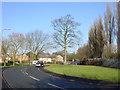

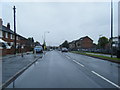
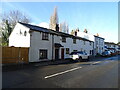
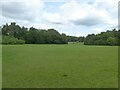
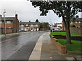
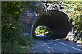
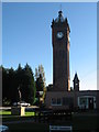
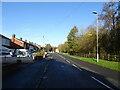


12 photos from this area
Area Information
Key information about the L36 1TN including its size, population, and administrative classification.
- Area Type
- Postcode
- Area Size
- 7054 m²
- Population
- 1463
- Population Density
- 7620 people/km²
House Prices in L36 1TN
24
Properties
£103,944
Average Sold Price
£30,000
Lowest Price
£200,000
Highest Price
Showing 24 properties
| Address | Type | Beds | Baths | Last Sale Price | Last Sale Date | |
|---|---|---|---|---|---|---|
| 35 Wallace Avenue, Huyton, L36 1TN | Terraced | 3 | 1 | £120,000 | May 2025 | |
| 3 Wallace Avenue, Huyton, L36 1TN | house | - | - | £200,000 | Aug 2022 | |
| 5 Wallace Avenue, Huyton, L36 1TN | Semi-detached | 3 | 1 | £160,000 | Dec 2015 | |
| 29 Wallace Avenue, Huyton, L36 1TN | house | - | - | £80,000 | Aug 2015 | |
| 45 Wallace Avenue, Huyton, L36 1TN | house | - | - | £80,000 | Jan 2014 | |
| 1 Wallace Avenue, Huyton, L36 1TN | Semi-detached | 1 | 1 | £110,000 | Jun 2013 | |
| 7 Wallace Avenue, Huyton, L36 1TN | Semi-detached | - | - | £120,000 | Oct 2010 | |
| 19 Wallace Avenue, Huyton, L36 1TN | house | - | - | £30,000 | Jan 2000 | |
| 43 Wallace Avenue, Huyton, L36 1TN | Terraced | 3 | 1 | £35,500 | Jul 1996 | |
| 33 Wallace Avenue, Huyton, L36 1TN | Terraced | 3 | - | - | - |
Page 1 of 3
Energy Efficiency in L36 1TN
Amenities
Schools
| Rank | School | Type | Entry gender | Ages |
|---|
Explore more schools in this area
Go to Schools tabDemographics
Household Size
One person
most common
Accommodation Type
Houses
most common
Tenure
58
majority
Ethnic Group
White
most common
Religion
N/A
most common
Household Composition
N/A
most common
Age
47
median
Adults (30-64 years)
most common
Household Deprivation
N/A
with no deprivation
NS-SEC
20
in Lower managerial occupations
Explore more demographic insights in this area
Go to Demographics tabPlanning
Planning Constraints
- Flood RiskPremium
- Ramsar Wetland SitesPremium
- Area of Outstanding Natural BeautyPremium
- Protected Nature ReservePremium
- Protected WoodlandPremium