Area Overview for L22 7RD
Photos of L22 7RD
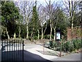
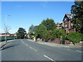
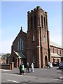
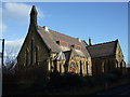
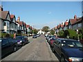
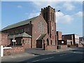
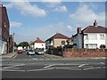
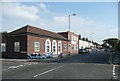
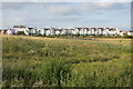
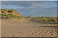
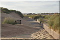
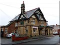
100 photos from this area
Area Information
Key information about the L22 7RD including its size, population, and administrative classification.
- Area Type
- Postcode
- Area Size
- 1.6 hectares
- Population
- 1531
- Population Density
- 1959 people/km²
House Prices in L22 7RD
35
Properties
£140,345
Average Sold Price
£44,000
Lowest Price
£276,000
Highest Price
Showing 35 properties
| Address | Type | Beds | Baths | Last Sale Price | Last Sale Date | |
|---|---|---|---|---|---|---|
| 24 Burdett Road, Waterloo, L22 7RD | Semi-detached | 3 | 1 | £276,000 | Nov 2025 | |
| 36 Burdett Road, Waterloo, L22 7RD | Retail | 3 | 2 | £252,000 | Mar 2022 | |
| 50 Burdett Road, Waterloo, L22 7RD | house | - | - | £227,000 | Mar 2021 | |
| 26 Burdett Road, Waterloo, L22 7RD | Semi-detached | 3 | 1 | £210,000 | Jul 2020 | |
| 41 Burdett Road, Waterloo, L22 7RD | Semi-detached | 3 | 1 | £165,000 | Mar 2017 | |
| 43 Burdett Road, Waterloo, L22 7RD | Semi-detached | 3 | - | £183,000 | Aug 2016 | |
| 48 Burdett Road, Waterloo, L22 7RD | house | - | - | £134,950 | Jul 2015 | |
| 30 Burdett Road, Waterloo, L22 7RD | house | - | - | £177,000 | May 2015 | |
| 16 Burdett Road, Waterloo, L22 7RD | Semi-detached | 3 | - | £160,000 | Mar 2015 | |
| 40 Burdett Road, Waterloo, L22 7RD | Semi-detached | 3 | - | £147,000 | Feb 2015 |
Page 1 of 4
Energy Efficiency in L22 7RD
Amenities
Schools
| Rank | School | Type | Entry gender | Ages |
|---|
Explore more schools in this area
Go to Schools tabDemographics
Household Size
One person
most common
Accommodation Type
Houses
most common
Tenure
60
majority
Ethnic Group
White
most common
Religion
N/A
most common
Household Composition
N/A
most common
Age
47
median
Adults (30-64 years)
most common
Household Deprivation
N/A
with no deprivation
NS-SEC
35
in Lower managerial occupations
Explore more demographic insights in this area
Go to Demographics tabPlanning
Planning Constraints
- Flood RiskPremium
- Ramsar Wetland SitesPremium
- Area of Outstanding Natural BeautyPremium
- Protected Nature ReservePremium
- Protected WoodlandPremium