Area Overview for L22 8QE
Photos of L22 8QE
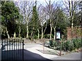
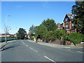

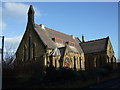
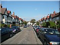
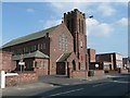
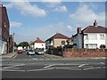
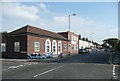
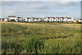
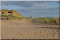
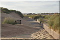
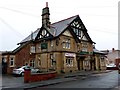
100 photos from this area
Area Information
Key information about the L22 8QE including its size, population, and administrative classification.
- Area Type
- Postcode
- Area Size
- 1.1 hectares
- Population
- 1536
- Population Density
- 8017 people/km²
House Prices in L22 8QE
56
Properties
£344,823
Average Sold Price
£46,000
Lowest Price
£4,106,500
Highest Price
Showing 56 properties
| Address | Type | Beds | Baths | Last Sale Price | Last Sale Date | |
|---|---|---|---|---|---|---|
| 1A Oxford Road, Waterloo, L22 8QE | Flat | - | - | £255,000 | May 2025 | |
| 13 Oxford Road, Waterloo, L22 8QE | Terraced | 4 | 1 | £255,000 | Feb 2025 | |
| 61 Oxford Road, Waterloo, L22 8QE | Semi-detached | 3 | 1 | £251,500 | Dec 2024 | |
| 37 Oxford Road, Waterloo, L22 8QE | house | 1 | 1 | £4,106,500 | Apr 2023 | |
| 43 Oxford Road, Waterloo, L22 8QE | house | 4 | - | £342,500 | Sep 2022 | |
| 29 Oxford Road, Waterloo, L22 8QE | house | - | - | £240,000 | Sep 2021 | |
| 41 Oxford Road, Waterloo, L22 8QE | Terraced | 4 | - | £175,000 | Feb 2020 | |
| 57 Oxford Road, Waterloo, L22 8QE | Semi-detached | 3 | 1 | £108,000 | Nov 2014 | |
| 59 Oxford Road, Waterloo, L22 8QE | Semi-detached | 3 | - | £150,000 | Jun 2014 | |
| 55 Oxford Road, Waterloo, L22 8QE | house | - | - | £141,500 | Dec 2013 |
Page 1 of 6
Energy Efficiency in L22 8QE
Amenities
Schools
| Rank | School | Type | Entry gender | Ages |
|---|
Explore more schools in this area
Go to Schools tabDemographics
Household Size
One person
most common
Accommodation Type
Houses
most common
Tenure
42
majority
Ethnic Group
White
most common
Religion
N/A
most common
Household Composition
N/A
most common
Age
47
median
Adults (30-64 years)
most common
Household Deprivation
N/A
with no deprivation
NS-SEC
30
in Lower managerial occupations
Explore more demographic insights in this area
Go to Demographics tabPlanning
Planning Constraints
- Flood RiskPremium
- Ramsar Wetland SitesPremium
- Area of Outstanding Natural BeautyPremium
- Protected Nature ReservePremium
- Protected WoodlandPremium