Area Overview for L22 6RE
Photos of L22 6RE
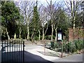
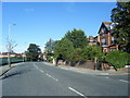


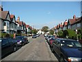

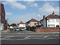
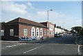
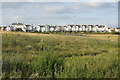

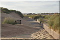
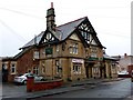
100 photos from this area
Area Information
Key information about the L22 6RE including its size, population, and administrative classification.
- Area Type
- Postcode
- Area Size
- 7024 m²
- Population
- 1461
- Population Density
- 5468 people/km²
House Prices in L22 6RE
28
Properties
£165,140
Average Sold Price
£53,000
Lowest Price
£316,000
Highest Price
Showing 28 properties
| Address | Type | Beds | Baths | Last Sale Price | Last Sale Date | |
|---|---|---|---|---|---|---|
| 27 Heathfield Road, Brighton Le Sands, L22 6RE | Semi-detached | 3 | 1 | £316,000 | May 2025 | |
| 7 Heathfield Road, Brighton Le Sands, L22 6RE | Semi-detached | 3 | 1 | £270,000 | Jul 2023 | |
| 19 Heathfield Road, Brighton Le Sands, L22 6RE | house | - | - | £225,000 | Jan 2022 | |
| 23 Heathfield Road, Brighton Le Sands, L22 6RE | house | - | - | £260,000 | Nov 2021 | |
| 39 Heathfield Road, Brighton Le Sands, L22 6RE | Semi-detached | 3 | 1 | £250,000 | Mar 2021 | |
| 55 Heathfield Road, Brighton Le Sands, L22 6RE | house | - | - | £185,000 | Mar 2021 | |
| 47 Heathfield Road, Brighton Le Sands, L22 6RE | Semi-detached | 3 | 1 | £214,000 | May 2018 | |
| 49 Heathfield Road, Brighton Le Sands, L22 6RE | Semi-detached | 2 | - | £208,000 | Feb 2018 | |
| 17 Heathfield Road, Brighton Le Sands, L22 6RE | Semi-detached | 3 | - | £225,000 | Jan 2018 | |
| 51 Heathfield Road, Brighton Le Sands, L22 6RE | house | 4 | - | £180,000 | Apr 2014 |
Page 1 of 3
Energy Efficiency in L22 6RE
Amenities
Schools
| Rank | School | Type | Entry gender | Ages |
|---|
Explore more schools in this area
Go to Schools tabDemographics
Household Size
One person
most common
Accommodation Type
Houses
most common
Tenure
74
majority
Ethnic Group
White
most common
Religion
N/A
most common
Household Composition
N/A
most common
Age
47
median
Adults (30-64 years)
most common
Household Deprivation
N/A
with no deprivation
NS-SEC
36
in Lower managerial occupations
Explore more demographic insights in this area
Go to Demographics tabPlanning
Planning Constraints
- Flood RiskPremium
- Ramsar Wetland SitesPremium
- Area of Outstanding Natural BeautyPremium
- Protected Nature ReservePremium
- Protected WoodlandPremium