Area Overview for L22 3YB
Photos of L22 3YB
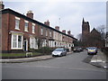
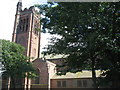
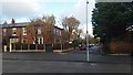
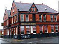
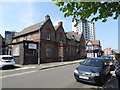
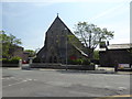
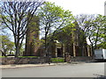
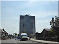
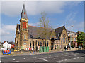
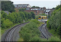
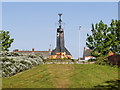
48 photos from this area
Area Information
Key information about the L22 3YB including its size, population, and administrative classification.
- Area Type
- Postcode
- Area Size
- 7469 m²
- Population
- 1494
- Population Density
- 4852 people/km²
House Prices in L22 3YB
35
Properties
£140,253
Average Sold Price
£41,000
Lowest Price
£200,000
Highest Price
Showing 35 properties
| Address | Type | Beds | Baths | Last Sale Price | Last Sale Date | |
|---|---|---|---|---|---|---|
| 78 Brook Vale, Waterloo, L22 3YB | Semi-detached | 3 | - | £200,000 | Aug 2022 | |
| 48 Brook Vale, Waterloo, L22 3YB | Semi-detached | 4 | 2 | £147,000 | May 2022 | |
| 60 Brook Vale, Waterloo, L22 3YB | house | 3 | - | £190,000 | Jun 2021 | |
| 38 Brook Vale, Waterloo, L22 3YB | Semi-detached | 3 | 1 | £162,000 | Aug 2020 | |
| 42 Brook Vale, Waterloo, L22 3YB | Semi-detached | 3 | 1 | £150,000 | Jul 2020 | |
| 58 Brook Vale, Waterloo, L22 3YB | Semi-detached | 3 | 1 | £162,000 | Jul 2019 | |
| 82 Brook Vale, Waterloo, L22 3YB | Semi-detached | 3 | 1 | £178,000 | Apr 2019 | |
| 84 Brook Vale, Waterloo, L22 3YB | house | 4 | 2 | £150,000 | Jan 2018 | |
| 26 Brook Vale, Waterloo, L22 3YB | Semi-detached | 3 | 1 | £157,000 | Feb 2016 | |
| 74 Brook Vale, Waterloo, L22 3YB | Semi-detached | 3 | 1 | £169,950 | May 2015 |
Page 1 of 4
Energy Efficiency in L22 3YB
Amenities
Schools
| Rank | School | Type | Entry gender | Ages |
|---|
Explore more schools in this area
Go to Schools tabDemographics
Household Size
One person
most common
Accommodation Type
Houses
most common
Tenure
71
majority
Ethnic Group
White
most common
Religion
N/A
most common
Household Composition
N/A
most common
Age
47
median
Adults (30-64 years)
most common
Household Deprivation
N/A
with no deprivation
NS-SEC
36
in Lower managerial occupations
Explore more demographic insights in this area
Go to Demographics tabPlanning
Planning Constraints
- Flood RiskPremium
- Ramsar Wetland SitesPremium
- Area of Outstanding Natural BeautyPremium
- Protected Nature ReservePremium
- Protected WoodlandPremium