Area Overview for L22 3XZ
Photos of L22 3XZ
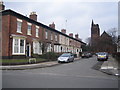
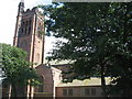
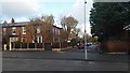
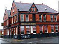
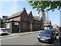
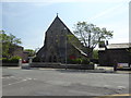
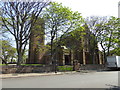
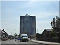
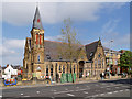
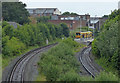
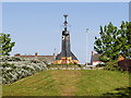
48 photos from this area
Area Information
Key information about the L22 3XZ including its size, population, and administrative classification.
- Area Type
- Postcode
- Area Size
- 7722 m²
- Population
- 1494
- Population Density
- 4852 people/km²
House Prices in L22 3XZ
29
Properties
£125,462
Average Sold Price
£43,500
Lowest Price
£226,000
Highest Price
Showing 29 properties
| Address | Type | Beds | Baths | Last Sale Price | Last Sale Date | |
|---|---|---|---|---|---|---|
| 46 Brooklands Avenue, Waterloo, L22 3XZ | Detached | 3 | 1 | £226,000 | Apr 2025 | |
| 56 Brooklands Avenue, Waterloo, L22 3XZ | house | - | - | £202,000 | Jun 2021 | |
| 26 Brooklands Avenue, Waterloo, L22 3XZ | Semi-detached | 3 | - | £169,500 | Dec 2020 | |
| 48 Brooklands Avenue, Waterloo, L22 3XZ | Semi-detached | 3 | 1 | £175,000 | Jul 2020 | |
| 60 Brooklands Avenue, Waterloo, L22 3XZ | house | - | - | £130,000 | Oct 2019 | |
| 18 Brooklands Avenue, Waterloo, L22 3XZ | Semi-detached | - | - | £160,000 | Jan 2019 | |
| 16 Brooklands Avenue, Waterloo, L22 3XZ | Semi-detached | 3 | 1 | £135,000 | Jan 2018 | |
| 34 Brooklands Avenue, Waterloo, L22 3XZ | Semi-detached | 3 | 1 | £132,000 | Jan 2016 | |
| 28 Brooklands Avenue, Waterloo, L22 3XZ | Semi-detached | 3 | - | £125,000 | Dec 2015 | |
| 24 Brooklands Avenue, Waterloo, L22 3XZ | Semi-detached | - | - | £102,000 | Dec 2007 |
Page 1 of 3
Energy Efficiency in L22 3XZ
Amenities
Schools
| Rank | School | Type | Entry gender | Ages |
|---|
Explore more schools in this area
Go to Schools tabDemographics
Household Size
One person
most common
Accommodation Type
Houses
most common
Tenure
71
majority
Ethnic Group
White
most common
Religion
N/A
most common
Household Composition
N/A
most common
Age
47
median
Adults (30-64 years)
most common
Household Deprivation
N/A
with no deprivation
NS-SEC
36
in Lower managerial occupations
Explore more demographic insights in this area
Go to Demographics tabPlanning
Planning Constraints
- Flood RiskPremium
- Ramsar Wetland SitesPremium
- Area of Outstanding Natural BeautyPremium
- Protected Nature ReservePremium
- Protected WoodlandPremium