Area Overview for L19 9AF
Photos of L19 9AF
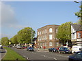

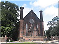
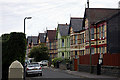
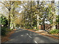
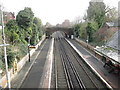
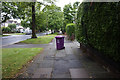
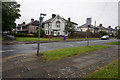
38 photos from this area
Area Information
Key information about the L19 9AF including its size, population, and administrative classification.
- Area Type
- Postcode
- Area Size
- 8983 m²
- Population
- 1591
- Population Density
- 6341 people/km²
House Prices in L19 9AF
27
Properties
£190,912
Average Sold Price
£47,500
Lowest Price
£395,000
Highest Price
Showing 27 properties
| Address | Type | Beds | Baths | Last Sale Price | Last Sale Date | |
|---|---|---|---|---|---|---|
| 20 Garston Old Road, Liverpool, L19 9AF | Detached | 3 | 1 | £244,500 | Sep 2025 | |
| 16 Garston Old Road, Liverpool, L19 9AF | Semi-detached | 3 | 1 | £360,000 | Jun 2025 | |
| 10 Garston Old Road, Liverpool, L19 9AF | Semi-detached | 3 | 1 | £235,000 | Aug 2023 | |
| 26 Garston Old Road, Liverpool, L19 9AF | house | - | - | £250,000 | Aug 2022 | |
| 11 Garston Old Road, Liverpool, L19 9AF | house | 2 | - | £140,000 | Sep 2021 | |
| 9 Garston Old Road, Liverpool, L19 9AF | Terraced | 2 | 1 | £163,500 | Jul 2021 | |
| 44 Garston Old Road, Liverpool, L19 9AF | Semi-detached | 6 | 2 | £395,000 | Nov 2018 | |
| 34 Garston Old Road, Liverpool, L19 9AF | Semi-detached | 3 | 1 | £220,000 | Mar 2017 | |
| 30 Garston Old Road, Liverpool, L19 9AF | Semi-detached | 3 | - | £212,000 | Sep 2016 | |
| 22 Garston Old Road, Liverpool, L19 9AF | Semi-detached | 3 | - | £177,000 | May 2014 |
Page 1 of 3
Energy Efficiency in L19 9AF
Amenities
Schools
| Rank | School | Type | Entry gender | Ages |
|---|
Explore more schools in this area
Go to Schools tabDemographics
Household Size
One person
most common
Accommodation Type
Houses
most common
Tenure
63
majority
Ethnic Group
White
most common
Religion
N/A
most common
Household Composition
N/A
most common
Age
47
median
Adults (30-64 years)
most common
Household Deprivation
N/A
with no deprivation
NS-SEC
40
in Lower managerial occupations
Explore more demographic insights in this area
Go to Demographics tabPlanning
Planning Constraints
- Flood RiskPremium
- Ramsar Wetland SitesPremium
- Area of Outstanding Natural BeautyPremium
- Protected Nature ReservePremium
- Protected WoodlandPremium