Area Overview for L19 0NP
Photos of L19 0NP
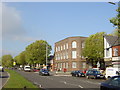

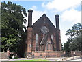
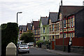
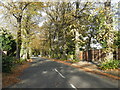
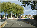
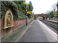
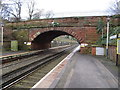
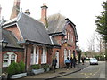
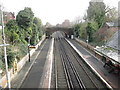
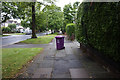
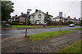
38 photos from this area
Area Information
Key information about the L19 0NP including its size, population, and administrative classification.
- Area Type
- Postcode
- Area Size
- 1.0 hectares
- Population
- 1591
- Population Density
- 6341 people/km²
House Prices in L19 0NP
43
Properties
£195,734
Average Sold Price
£57,500
Lowest Price
£359,000
Highest Price
Showing 43 properties
| Address | Type | Beds | Baths | Last Sale Price | Last Sale Date | |
|---|---|---|---|---|---|---|
| 12 Ranfurly Road, Liverpool, L19 0NP | Semi-detached | 3 | 1 | £290,000 | Feb 2025 | |
| 5 Ranfurly Road, Liverpool, L19 0NP | Semi-detached | 3 | 1 | £300,000 | May 2023 | |
| 15 Ranfurly Road, Liverpool, L19 0NP | Semi-detached | 3 | 1 | £295,000 | Mar 2023 | |
| 42 Ranfurly Road, Liverpool, L19 0NP | house | - | - | £359,000 | Nov 2021 | |
| 36 Ranfurly Road, Liverpool, L19 0NP | house | - | - | £236,000 | Mar 2021 | |
| 30 Ranfurly Road, Liverpool, L19 0NP | Semi-detached | 3 | 1 | £200,000 | Dec 2019 | |
| 4 Ranfurly Road, Liverpool, L19 0NP | Semi-detached | 3 | 1 | £240,000 | Aug 2019 | |
| 24 Ranfurly Road, Liverpool, L19 0NP | Semi-detached | 3 | - | £223,200 | Feb 2019 | |
| 31 Ranfurly Road, Liverpool, L19 0NP | Semi-detached | 3 | 2 | £185,000 | Dec 2018 | |
| 6 Ranfurly Road, Liverpool, L19 0NP | Semi-detached | 3 | 1 | £177,500 | Aug 2018 |
Page 1 of 5
Energy Efficiency in L19 0NP
Amenities
Schools
| Rank | School | Type | Entry gender | Ages |
|---|
Explore more schools in this area
Go to Schools tabDemographics
Household Size
One person
most common
Accommodation Type
Houses
most common
Tenure
63
majority
Ethnic Group
White
most common
Religion
N/A
most common
Household Composition
N/A
most common
Age
47
median
Adults (30-64 years)
most common
Household Deprivation
N/A
with no deprivation
NS-SEC
40
in Lower managerial occupations
Explore more demographic insights in this area
Go to Demographics tabPlanning
Planning Constraints
- Flood RiskPremium
- Ramsar Wetland SitesPremium
- Area of Outstanding Natural BeautyPremium
- Protected Nature ReservePremium
- Protected WoodlandPremium