Area Overview for L18 1LF
Photos of L18 1LF
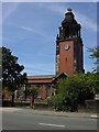
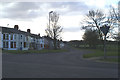
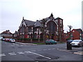
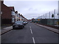
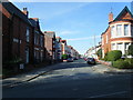

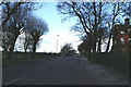
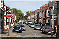
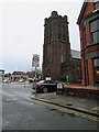
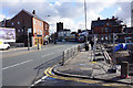
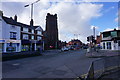
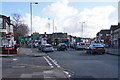
68 photos from this area
Area Information
Key information about the L18 1LF including its size, population, and administrative classification.
- Area Type
- Postcode
- Area Size
- 6671 m²
- Population
- 1449
- Population Density
- 7975 people/km²
House Prices in L18 1LF
29
Properties
£233,118
Average Sold Price
£42,000
Lowest Price
£395,000
Highest Price
Showing 29 properties
| Address | Type | Beds | Baths | Last Sale Price | Last Sale Date | |
|---|---|---|---|---|---|---|
| 20 Elm Hall Drive, Liverpool, L18 1LF | Terraced | 4 | 2 | £395,000 | Nov 2024 | |
| 22 Elm Hall Drive, Liverpool, L18 1LF | Terraced | 5 | 2 | £338,000 | May 2020 | |
| 16 Elm Hall Drive, Liverpool, L18 1LF | Terraced | 6 | - | £340,000 | Oct 2018 | |
| 30 Elm Hall Drive, Liverpool, L18 1LF | Terraced | 5 | - | £318,000 | Mar 2018 | |
| 12 Elm Hall Drive, Liverpool, L18 1LF | Terraced | 5 | 2 | £242,000 | Jun 2017 | |
| 40 Elm Hall Drive, Liverpool, L18 1LF | Semi-detached | 4 | - | £242,000 | Dec 2015 | |
| 2 Elm Hall Drive, Liverpool, L18 1LF | Terraced | 2 | 2 | £285,000 | Mar 2011 | |
| 10 Elm Hall Drive, Liverpool, L18 1LF | house | - | - | £228,500 | Jan 2011 | |
| 14 Elm Hall Drive, Liverpool, L18 1LF | house | - | - | £84,000 | Nov 1999 | |
| 6 Elm Hall Drive, Liverpool, L18 1LF | Terraced | 8 | 3 | £49,800 | Jul 1999 |
Page 1 of 3
Energy Efficiency in L18 1LF
Amenities
Schools
| Rank | School | Type | Entry gender | Ages |
|---|
Explore more schools in this area
Go to Schools tabDemographics
Household Size
Family (3-5 people)
most common
Accommodation Type
Houses
most common
Tenure
64
majority
Ethnic Group
White
most common
Religion
N/A
most common
Household Composition
N/A
most common
Age
47
median
Adults (30-64 years)
most common
Household Deprivation
N/A
with no deprivation
NS-SEC
48
in Lower managerial occupations
Explore more demographic insights in this area
Go to Demographics tabPlanning
Planning Constraints
- Flood RiskPremium
- Ramsar Wetland SitesPremium
- Area of Outstanding Natural BeautyPremium
- Protected Nature ReservePremium
- Protected WoodlandPremium