Area Overview for L17 2BJ
Photos of L17 2BJ
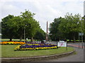
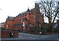
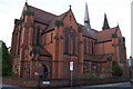
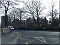
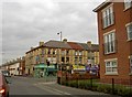
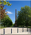
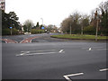
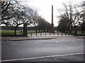
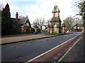
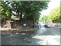
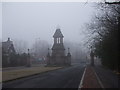
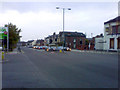
66 photos from this area
Area Information
Key information about the L17 2BJ including its size, population, and administrative classification.
- Area Type
- Postcode
- Area Size
- 2.3 hectares
- Population
- 1897
- Population Density
- 10785 people/km²
House Prices in L17 2BJ
54
Properties
£148,879
Average Sold Price
£92,500
Lowest Price
£255,000
Highest Price
Showing 54 properties
| Address | Type | Beds | Baths | Last Sale Price | Last Sale Date | |
|---|---|---|---|---|---|---|
| 6 Bethel Grove, Liverpool, L17 2BJ | house | 2 | 1 | £138,000 | Oct 2025 | |
| 45 Bethel Grove, Liverpool, L17 2BJ | Flat | - | - | £147,500 | Sep 2025 | |
| 43 Bethel Grove, Liverpool, L17 2BJ | Flat | 2 | 2 | £165,000 | Aug 2025 | |
| 22 Bethel Grove, Liverpool, L17 2BJ | Flat | 2 | 1 | £140,000 | Mar 2025 | |
| 37 Bethel Grove, Liverpool, L17 2BJ | Flat | 2 | 2 | £167,500 | Feb 2025 | |
| 39 Bethel Grove, Liverpool, L17 2BJ | Flat | - | - | £145,000 | Feb 2025 | |
| 15 Bethel Grove, Liverpool, L17 2BJ | Semi-detached | 4 | 2 | £255,000 | Jan 2025 | |
| 18 Bethel Grove, Liverpool, L17 2BJ | Terraced | 3 | - | £215,000 | Jul 2024 | |
| 26 Bethel Grove, Liverpool, L17 2BJ | Flat | - | - | £99,000 | Jul 2024 | |
| 9 Bethel Grove, Liverpool, L17 2BJ | Terraced | 2 | 1 | £239,000 | Jul 2024 |
Page 1 of 6
Energy Efficiency in L17 2BJ
Amenities
Schools
| Rank | School | Type | Entry gender | Ages |
|---|
Explore more schools in this area
Go to Schools tabDemographics
Household Size
Family (3-5 people)
most common
Accommodation Type
Houses
most common
Tenure
31
majority
Ethnic Group
White
most common
Religion
N/A
most common
Household Composition
N/A
most common
Age
22
median
Young Adults (15-29 years)
most common
Household Deprivation
N/A
with no deprivation
NS-SEC
13
in Lower managerial occupations
Explore more demographic insights in this area
Go to Demographics tabPlanning
Planning Constraints
- Flood RiskPremium
- Ramsar Wetland SitesPremium
- Area of Outstanding Natural BeautyPremium
- Protected Nature ReservePremium
- Protected WoodlandPremium