Area Overview for L15 2HF
Photos of L15 2HF
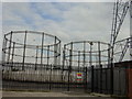
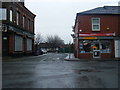


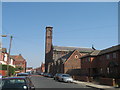
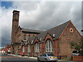
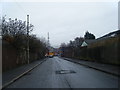

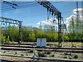

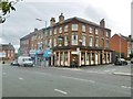
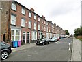
62 photos from this area
Area Information
Key information about the L15 2HF including its size, population, and administrative classification.
- Area Type
- Postcode
- Area Size
- 3.7 hectares
- Population
- 1897
- Population Density
- 10785 people/km²
House Prices in L15 2HF
33
Properties
£4,539,804
Average Sold Price
£38,000
Lowest Price
£39,887,285
Highest Price
Showing 33 properties
| Address | Type | Beds | Baths | Last Sale Price | Last Sale Date | |
|---|---|---|---|---|---|---|
| 227 Smithdown Road, Wavertree, Liverpool, L15 2HF | Terraced | 3 | 1 | £167,000 | Jul 2022 | |
| 217 Smithdown Road, Wavertree, Liverpool, L15 2HF | house | 4 | 2 | £152,000 | Sep 2021 | |
| 229 Smithdown Road, Wavertree, Liverpool, L15 2HF | Terraced | 3 | 1 | £180,000 | Jun 2021 | |
| 269 Smithdown Road, Wavertree, Liverpool, L15 2HF | Terraced | 5 | 2 | £222,500 | Nov 2020 | |
| 271 Smithdown Road, Wavertree, Liverpool, L15 2HF | house | 6 | 2 | £39,887,285 | Nov 2018 | |
| 233 Smithdown Road, Wavertree, Liverpool, L15 2HF | house | - | - | £120,000 | Sep 2009 | |
| 261 Smithdown Road, Wavertree, Liverpool, L15 2HF | Terraced | 6 | 2 | £47,500 | Oct 2002 | |
| 231 Smithdown Road, Wavertree, Liverpool, L15 2HF | house | - | - | £38,000 | Jan 2000 | |
| 215 Smithdown Road, Wavertree, Liverpool, L15 2HF | Terraced | 1 | 1 | £43,950 | Jul 1998 | |
| Flat B, Portman Court, 257 Smithdown Road, Wavertree, Liverpool, L15 2HF | Flat | - | - | - | - |
Page 1 of 4
Energy Efficiency in L15 2HF
Amenities
Schools
| Rank | School | Type | Entry gender | Ages |
|---|
Explore more schools in this area
Go to Schools tabDemographics
Household Size
Family (3-5 people)
most common
Accommodation Type
Houses
most common
Tenure
31
majority
Ethnic Group
White
most common
Religion
N/A
most common
Household Composition
N/A
most common
Age
22
median
Young Adults (15-29 years)
most common
Household Deprivation
N/A
with no deprivation
NS-SEC
13
in Lower managerial occupations
Explore more demographic insights in this area
Go to Demographics tabPlanning
Planning Constraints
- Flood RiskPremium
- Ramsar Wetland SitesPremium
- Area of Outstanding Natural BeautyPremium
- Protected Nature ReservePremium
- Protected WoodlandPremium