Area Overview for L15 9HR
Photos of L15 9HR
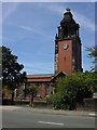
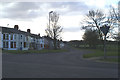
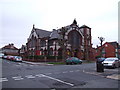
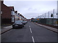
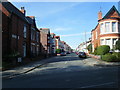

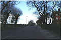
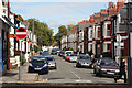
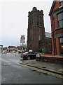
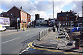
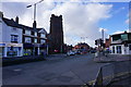
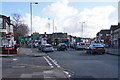
68 photos from this area
Area Information
Key information about the L15 9HR including its size, population, and administrative classification.
- Area Type
- Postcode
- Area Size
- 3536 m²
- Population
- 1577
- Population Density
- 5909 people/km²
House Prices in L15 9HR
27
Properties
£175,362
Average Sold Price
£28,000
Lowest Price
£430,000
Highest Price
Showing 27 properties
| Address | Type | Beds | Baths | Last Sale Price | Last Sale Date | |
|---|---|---|---|---|---|---|
| 4 Coventry Road, Liverpool, L15 9HR | Terraced | 3 | 1 | £270,000 | Oct 2025 | |
| 16 Coventry Road, Liverpool, L15 9HR | Semi-detached | 3 | 1 | £280,000 | Jul 2025 | |
| 29 Coventry Road, Liverpool, L15 9HR | Terraced | 3 | 1 | £259,500 | Jan 2025 | |
| 18 Coventry Road, Liverpool, L15 9HR | Semi-detached | 4 | 2 | £430,000 | Dec 2024 | |
| 15 Coventry Road, Liverpool, L15 9HR | Terraced | 3 | 1 | £223,000 | Jun 2021 | |
| 33 Coventry Road, Liverpool, L15 9HR | Semi-detached | 3 | 1 | £270,000 | Nov 2020 | |
| 31 Coventry Road, Liverpool, L15 9HR | Terraced | 4 | 3 | £230,000 | Nov 2020 | |
| 35 Coventry Road, Liverpool, L15 9HR | Semi-detached | 3 | 1 | £280,000 | Oct 2020 | |
| 13 Coventry Road, Liverpool, L15 9HR | Terraced | 3 | 1 | £183,500 | Oct 2019 | |
| 23 Coventry Road, Liverpool, L15 9HR | Terraced | 3 | 1 | £200,000 | Jan 2019 |
Page 1 of 3
Energy Efficiency in L15 9HR
Amenities
Schools
| Rank | School | Type | Entry gender | Ages |
|---|
Explore more schools in this area
Go to Schools tabDemographics
Household Size
Two person
most common
Accommodation Type
Houses
most common
Tenure
65
majority
Ethnic Group
White
most common
Religion
N/A
most common
Household Composition
N/A
most common
Age
47
median
Adults (30-64 years)
most common
Household Deprivation
N/A
with no deprivation
NS-SEC
41
in Lower managerial occupations
Explore more demographic insights in this area
Go to Demographics tabPlanning
Planning Constraints
- Flood RiskPremium
- Ramsar Wetland SitesPremium
- Area of Outstanding Natural BeautyPremium
- Protected Nature ReservePremium
- Protected WoodlandPremium